Governors Island in Manhattan in New York County, New York — The American Northeast (Mid-Atlantic)
Castle Williams
Changing with the Times
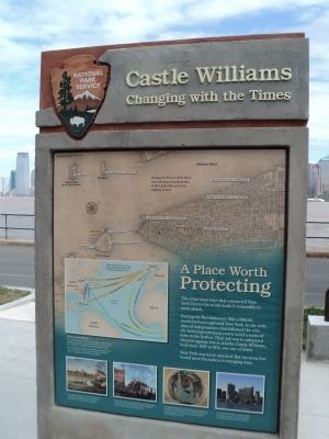
A Place Worth Protecting
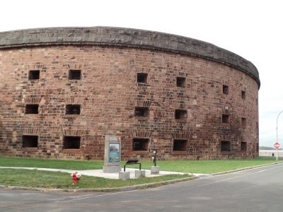
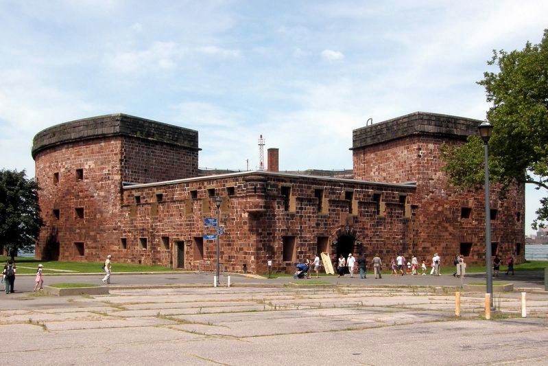
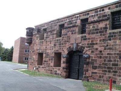
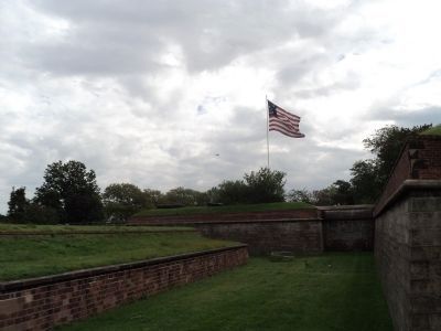
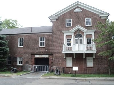
During the Revolutionary War, a British maritime force captured New York. In the early days of independence that followed the war, the federal government constructed a series of forts in the harbor. Their job was to safeguard the port against future attacks. Castle Williams, built from 1807 to 1811, was one of them.
New York was never attacked. But the stone fort would serve the nation in changing ways.
[ Side 2 ]
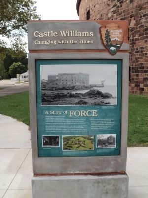
A Show of Force
Over time, as the forts played less of a role in protecting the harbor and the city, an army post evolved around them. By the 1870s, Governors Island became a major U.S. Army headquarters and by 1930, it was home to over 3,000 soldiers, officers, and their families.
“Even Governors Island, once a smiling garden . . . was now covered with fortifications – so that this once-peaceful island resembled a fierce little warrior in a big cocked hat, breathing gunpowder and defiance to the world !”
- Author Washington Irving, Knickerbocker’s History of New York, 1809
Erected by National Park Service.
Topics. This historical marker is listed in this topic list: Forts and Castles. A significant historical year for this entry is 1807.
Location. 40° 41.582′ N, 74° 1.141′ W. Marker is in Manhattan, New York, in New York County. It is on Governors Island. Marker is at the intersection of Carder Road and Hay Road, on the left when traveling west on Carder Road. Marker is located at the northwest corner of Governors Island. Touch for map. Marker is in this post office area: New York NY 10004, United States of America. Touch for directions.
Other nearby markers. At least 8 other markers are within walking distance of this marker. Across the Harbor: Remembering September 11th (here, next to this marker); Group Effort (here, next to this marker); In Memory Of Alexander Kidd (within shouting distance of this marker); a different marker also named Castle Williams (within shouting distance of this marker); Early North American Colonist Remains (within shouting distance of this marker); Governors Island (within shouting distance of this marker); a different marker also named Castle Williams (within shouting distance of this marker); Great Promenade (within shouting distance of this marker). Touch for a list and map of all markers in Manhattan.
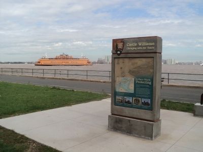
More about this marker. The background of side 1 of the marker contains a map of Lower Manhattan and New York Harbor showing the locations of all the harbor fortifications. It includes a caption of “During the War of 1812, these were the major fortifications of the Upper Bay and their original names.” Below this is a map of the North Atlantic Ocean indicating the major trade routes between America, England and Africa. This has a caption of “The Rise of New York City – New York City had an ideal harbor: large, sheltered, deep, and protected from wind and ice. By the late 1700s, it was a thriving port for Atlantic and the West Indies trade. Fortified against foreign attack, the port expanded, New York City prospered. It became the nation’s financial capital – and a place well worth protecting.” Four pictures appear at the bottom of the marker. The first has a caption of “Early colonists were drawn by the harbor’s geographic advantages and rich natural resources. The city began to expand.” The caption of the second picture is “In the late 1700s, ship captains met at the Tontine Coffee House (left, with flag) at Wall and Water Streets to buy, sell, and trade goods.” The third picture is an aerial map of the Harbor and has a caption of “By the mid-1800s, New York City was an important world port and financial center. The fortifications and army post on Governors Island were well positioned to protect it.” The final picture is a modern photograph of the New York skyline and includes a caption of “New York City today: a world capital for business, finance, and the global exchange of ideas and information.”
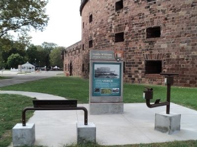
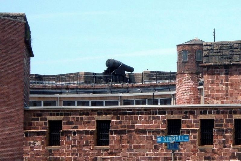
Side 2 of the marker features four photographs. The top of the marker shows a large photo of Castle Williams with a caption of “Castle Williams between 1861 and 1865, photographed by Civil War-era photographer Mathew Brady. National Archives.” Three pictures appear along the bottom of the marker. The first is an interior photo of Castle Williams and has a caption of “Armed with dozens of cannon, Castle Williams was an intimidating sight.” Next to this is an aerial view of Fort Jay with a caption of “Until 1942, when they were removed for scrap for the war effort in World War II, Fort Jay had more than 50 Civil War-era 10- and 15-inch Rodman cannons protecting it and the harbor. In the 1930s, its barracks became housing for Army and Coast Guard families. Today, it is part of the National Monument.” The last photo is of the South Battery and has a caption of “South Battery protected the east side of the island along Buttermilk Channel. From the 1830s to the 1870s, it served as an army music school. When Governors Island became a major army headquarters, the South Battery became an officers’ club, as seen in this 1940s photo.”
Also see . . .
1. History of Governors Island. The Trust for Governors Island website. (Submitted on September 10, 2011, by Bill Coughlin of Woodland Park, New Jersey.)
2. Governors Island National Monument. National Park Service website. (Submitted on September 10, 2011, by Bill Coughlin of Woodland Park, New Jersey.)
Credits. This page was last revised on January 31, 2023. It was originally submitted on September 10, 2011, by Bill Coughlin of Woodland Park, New Jersey. This page has been viewed 649 times since then and 23 times this year. Photos: 1, 2, 3, 4, 5. submitted on September 10, 2011, by Bill Coughlin of Woodland Park, New Jersey. 6, 7. submitted on April 7, 2020, by Larry Gertner of New York, New York. 8, 9, 10. submitted on September 10, 2011, by Bill Coughlin of Woodland Park, New Jersey.
