Governors Island in Manhattan in New York County, New York — The American Northeast (Mid-Atlantic)
Group Effort
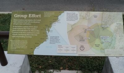
Before airplanes and missiles, the United States defended itself with fortifications along its coast and harbors.
In this harbor a system of forts stood ready to protect New York; nearly a dozen were built before the War of 1812. Cannons in the forts combined to create a deadly, interlocking field of fire that could stop invading warships.
“The City and Harbor of New York have been lately fortified against the assaults of a naval enemy at a very great expense. [The forts] mount about 300 cannon and mortars, for the working of which 3,500 men are required.”
- A Gazetteer of the State of New York, 1813
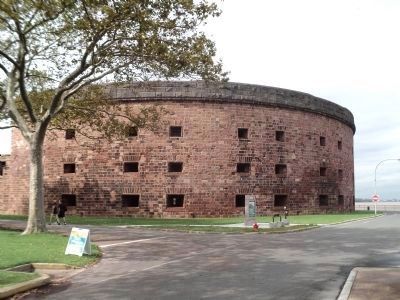
The guns of Castle Williams, together with the other forts, created overlapping fields of fire with five other forts (Jay, Wood, Gibson, Clinton, and South Battery).
Erected by National Park Service.
Topics. This historical marker is listed in this topic list: Forts and Castles. A significant historical year for this entry is 1812.
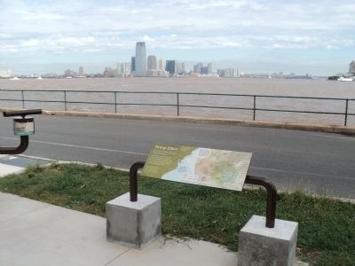
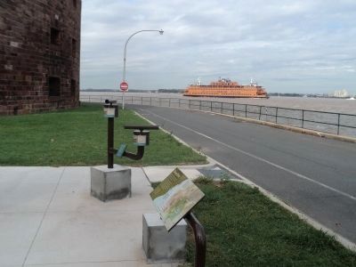
Location. 40° 41.584′ N, 74° 1.14′ W. Marker is in Manhattan, New York, in New York County. It is on Governors Island. Marker is at the intersection of Carder Road and Hay Road, on the left when traveling west on Carder Road. Marker is located on Governors Island, near Castle Williams. Touch for map. Marker is in this post office area: New York NY 10004, United States of America. Touch for directions.
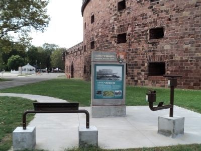
Other nearby markers. At least 8 other markers are within walking distance of this marker. Across the Harbor: Remembering September 11th (here, next to this marker); Castle Williams (here, next to this marker); In Memory Of Alexander Kidd (within shouting distance of this marker); a different marker also named Castle Williams (within shouting distance of this marker); Early North American Colonist Remains (within shouting distance of this marker); Governors Island (within shouting distance of this marker); a different marker also named Castle Williams (within shouting distance of this marker); Great Promenade (within shouting distance of this marker). Touch for a list and map of all markers in Manhattan.
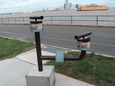
More about this marker. An outline of the American coast appears on the left of the marker with the captions “By 1810 the U.S. Army had built fortifications along America’s eastern coast.” and “Look through the nearby scopes to see Castle Clinton in Manhattan and the site of Fort Gibson on Ellis Island.”
The right side of the marker features a map of lower Manhattan and New York Harbor. The locations of Castle Clinton, Fort Jay, Fort Wood, Fort Gibson, Castle Williams and South Battery are shown along with their firing radii.
Also see . . .
1. History of Governors Island. The Trust for Governors Island website. (Submitted on September 11, 2011, by Bill Coughlin of Woodland Park, New Jersey.)
2. Governors Island National Monument. National Park Service website. (Submitted on September 11, 2011, by Bill Coughlin of Woodland Park, New Jersey.)
Credits. This page was last revised on February 13, 2024. It was originally submitted on September 11, 2011, by Bill Coughlin of Woodland Park, New Jersey. This page has been viewed 436 times since then and 8 times this year. Photos: 1, 2, 3, 4, 5, 6. submitted on September 11, 2011, by Bill Coughlin of Woodland Park, New Jersey.
