Near Locust Dale in Madison County, Virginia — The American South (Mid-Atlantic)
Madison County / Culpeper County
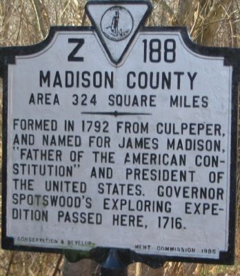
Madison County. Area 324 Square Miles. Formed in 1792 from Culpeper, and named for James Madison, "Father of the American Constitution" and President of the United States. Governor Spotswood's exploring expedition passed here, 1716.
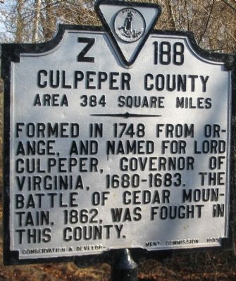
Culpeper County. Area 384 Square Miles. Formed in 1748 from Orange, and named for Lord Culpeper, Governor of Virginia, 1680-1683. The Battle of Cedar Mountain, 1862, was fought in this county.
Erected 1935 by Conservation & Development Commission. (Marker Number Z-188.)
Topics and series. This historical marker is listed in this topic list: Political Subdivisions. In addition, it is included in the Former U.S. Presidents: #04 James Madison, and the Virginia Department of Historic Resources (DHR) series lists. A significant historical year for this entry is 1792.
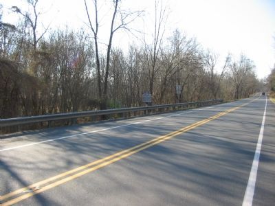
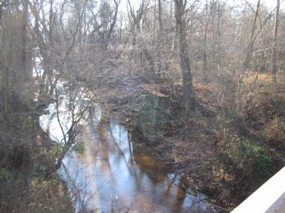
Location. 38° 21.187′ N, 78° 6.793′ W. Marker is near Locust Dale, Virginia, in Madison County. Marker is at the intersection of James Madison Highway (U.S. 15) and White Oad Road / Robinson River Road (County Route 721), on the right when traveling north on James Madison Highway. Located at a bridge over Crooked Run. Touch for map. Marker is in this post office area: Locust Dale VA 22948, United States of America. Touch for directions.
Other nearby markers. At least 8 other markers are within 5 miles of this marker, measured as the crow flies. Jackson’s Crossing (approx. 0.4 miles away); Crooked Run Baptist Church (approx. 0.7 miles away); Pete Hill (approx. 3.6 miles away); Oak Grove Baptist Church (approx. 3.8 miles away); George Washington Carver Regional High School (approx. 3.9 miles away); Woodberry Forest School (approx. 3.9 miles away); Fry's / Barnett's Ford Road (approx. 3.9 miles away); Battle of Cedar Mountain (approx. 4.2 miles away).
Credits. This page was last revised on July 8, 2021. It was originally submitted on January 13, 2008, by Craig Swain of Leesburg, Virginia. This page has been viewed 981 times since then and 20 times this year. Photos: 1, 2, 3, 4. submitted on January 13, 2008, by Craig Swain of Leesburg, Virginia.


