Lookout Valley near Tiftonia in Hamilton County, Tennessee — The American South (East South Central)
Civil War in Tennessee
The Fight for Lookout Mountain
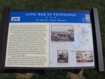
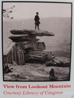
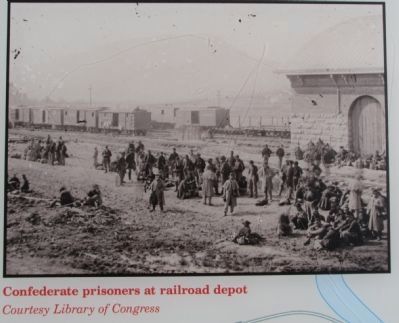
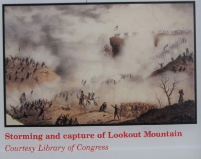
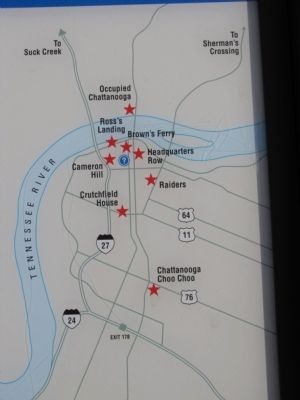
The Union Army retreated to Chattanooga after its September 1863 defeat at the Battle of Chickamauga in north Georgia. Confederate forces surrounded the city and fortified Lookout Mountain. On November 24, the Federals captured Lookout Mountain. Charging Union soldiers expected a deadly shower of bullets. One wrote: "Every moment we expected to hear [our charge] broken by sharp shots from the rocks overhead, or by a rattling volley from the innumerable boulders in front." But they overwhelmed the Confederate defenders in a fight known as the "Battle above the Clouds" because of a thick fog that shrouded the mountain. There were about 400 Union casualties and 1,250 Confederate casualties. Two National Park Service properties, Point Park and the Cravens House, interpret the fighting and the battle's effects on local residents.
Follow the routes of the armies along the Tennessee Civil War Trails. Colorful markers at each stop tell the story of the war's interesting people, places, and events. A free map guide to the Tennessee Trails network is available in the Welcome Center. Please drive carefully as you enjoy the beauty and history of the Tennessee Civil War Trails.
Erected 2011 by Tennessee Civil War Trails.
Topics and series. This historical marker is listed in these topic lists: Settlements & Settlers • War, US Civil. In addition, it is included in the Tennessee Civil War Trails series list. A significant historical month for this entry is September 1863.
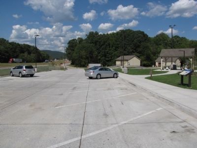
Location. 34° 59.615′ N, 85° 23.966′ W. Marker is near Tiftonia, Tennessee, in Hamilton County. It is in Lookout Valley. Marker can be reached from State Highway 24, 1½ miles east of Exit 169 (Highway 299), on the right when traveling east. Marker is located at Tennessee's "I-24 Welcome Center Tiftonia/Hamilton County, between exits 169 (in Georgia) and 174 (in Tennessee). Touch for map. Marker is in this post office area: Chattanooga TN 37419, United States of America. Touch for directions.
Other nearby markers. At least 8 other markers are within 3 miles of this marker, measured as the crow flies. Tennessee AMVETS Veterans Memorial (within shouting distance of this marker); Chief Wauhatchie’s Home (approx. 1.3 miles away in Georgia); Greene's New York Brigade (approx. 1.8 miles away); Raccoon Mountain (approx. 2 miles away); Wauhatchie (approx. 2.3 miles away); Confederate Position, 1863
(approx. 2.3 miles away); Carter Hall (approx. 2.4 miles away in Georgia); Sunset Rock (approx. 2.6 miles away). Touch for a list and map of all markers in Tiftonia.
Credits. This page was last revised on February 7, 2023. It was originally submitted on September 12, 2011, by Lee Hattabaugh of Capshaw, Alabama. This page has been viewed 1,352 times since then and 22 times this year. Photos: 1, 2, 3, 4, 5, 6. submitted on September 12, 2011, by Lee Hattabaugh of Capshaw, Alabama. • Craig Swain was the editor who published this page.
