Governors Island in Manhattan in New York County, New York — The American Northeast (Mid-Atlantic)
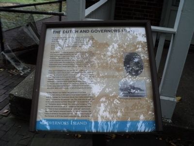
The Dutch and Governors Island
Governors Island
The Dutch East India Company commissioned Henry Hudson to identify a northwest passage to the Indies. As a part of that effort, Hudson entered New York Bay on September 11, 1609 in his vessel The Half Moon and sailed up the river that now bears his name. Over the next 15 years, the area was surveyed by company representatives while temporary trading outposts were established.
For the Dutch to establish permanent territorial claim in the area, they needed not only to discover and chart the area, but settle it as well. In part to achieve this, a party of Dutch settlers wintered on Governors Island in 1624, which they termed Nooten Eylamdt. The area’s inhabitants at the time of the Dutch arrival were the Lenape Indians, one of the oldest of the Algonquian tribes. Nooten Eylandt is thought to be the Dutch translation of the Lenape name “Pagganack” or “Nut Island.”
After approximately one year on Governors Island, many Dutch relocated to Manhattan while others used the island as a jumping off point to settle outposts north along the Hudson River. The Dutch built a sawmill on Governors Island to mill the valuable nut trees into lumber for some of Manhattan’s first buildings. An archeological study has identified possible signs of this sawmill in the area where you stand. Unlike the well known water powered European windmills of the period, this was most likely a wind powered mill of unique Durch design.
In 1637, Wouter van Twiller, the governor of the New Amsterdam colony, is thought to have traded nominal trinkets with the Lenape for Governors Island. Van Twiller anticipated using the Island for his personal use. The trade was undertaken in the same manner as Peter Minuit when he traded trinkets for Manhattan Island in 1626. The concept of property sale of this sort was not known in Lenape culture and they were not likely to have considered the arrangement permanent. Upon van Twiller’s removal from the governor position, the Island reverted to the public domain. Through the Treaty of Westminster in 1674 the Dutch ceded the Island to the British.
Topics. This historical marker is listed in these topic lists: Colonial Era • Native Americans. A significant historical month for this entry is September 1636.
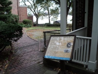
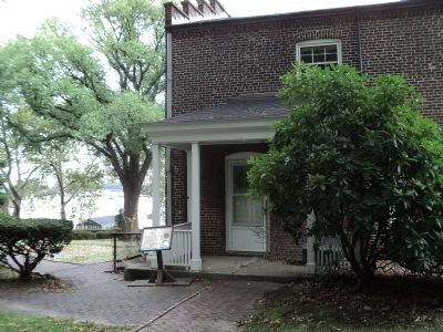
Location. 40° 41.44′ N, 74° 0.795′ W. Marker is in Manhattan, New York, in New York County. It is on Governors Island. Marker can be reached from Barry Road, on the left when traveling north. Marker is located in the Historic District of Governors Island. Touch for map. Marker is in this post office area: New York NY 10004, United States of America. Touch for directions.
Other nearby markers. At least 8 other markers are within walking distance of this marker. The Governors House (a few steps from this marker); a different marker also named The Governor’s House (a few steps from this marker); a different marker also named The Governor’s House (within shouting distance of this marker); Nolan Park Stabilization (within shouting distance of this marker); Commanding Officer’s Quarters (within shouting distance of this marker); Barry Road (within shouting distance of this marker); Nolan Park (within shouting distance of this marker); Pershing Hall (about 300 feet away, measured in a direct line). Touch for a list and map of all markers in Manhattan.
More about this marker. Two pictures appear on the right side of the marker: a portrait of Wouter van Twiller and a picture of Henry Hudson’s Half Moon, 1609.
Also see . . . Governors Island National Monument. National Park Service website. (Submitted on September 13, 2011, by Bill Coughlin of Woodland Park, New Jersey.)
Credits. This page was last revised on February 17, 2024. It was originally submitted on September 13, 2011, by Bill Coughlin of Woodland Park, New Jersey. This page has been viewed 650 times since then and 31 times this year. Photos: 1, 2, 3, 4. submitted on September 13, 2011, by Bill Coughlin of Woodland Park, New Jersey.


