Near Glidden in Ashland County, Wisconsin — The American Midwest (Great Lakes)
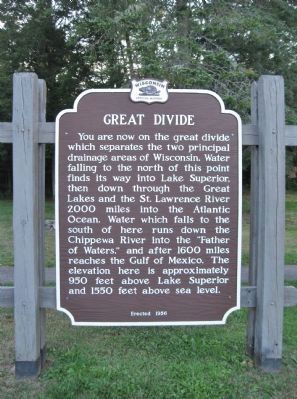
Great Divide
You are now on the great divide which separates the two principal drainage areas of Wisconsin. Water falling to the north of this point finds its way into Lake Superior, then down through the Great Lakes and the St. Lawrence River 2,000 miles into the Atlantic Ocean. Water which falls to the south of here runs down the Chippewa River into the "Father of Waters," and after 1600 miles reaches the Gulf of Mexico. The elevation here is approximately 950 feet above Lake Superior and 1550 feet above sea level.
Erected 1956 by the Wisconsin Historical Society. (Marker Number 54.)
Topics and series. This historical marker is listed in this topic list: Waterways & Vessels. In addition, it is included in the Wisconsin Historical Society series list. A significant historical year for this entry is 1600.
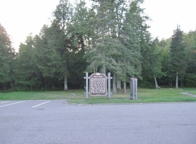
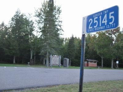
Location. 46° 11.17′ N, 90° 37.52′ W. Marker is near Glidden, Wisconsin, in Ashland County. Marker is on State Highway 13, 2 miles north of State Highway 77, on the left when traveling north. Marker is at a highway wayside. Touch for map. Marker is at or near this postal address: 25145 State Highway 13 / 77, Glidden WI 54527, United States of America. Touch for directions.
Other nearby markers. At least 5 other markers are within 10 miles of this marker, measured as the crow flies. Glidden State Bank (approx. 4.2 miles away); World's Largest White Pine Log (approx. 4.2 miles away); Legend of Mellen (approx. 9.6 miles away); Jeanne D'Arc Willow (approx. 9.6 miles away); The Vietnam Memorial Tree (approx. 9.6 miles away).
Also see . . . The Great Divide Highway. Go Wisconsin website entry (Submitted on September 16, 2011.)
Credits. This page was last revised on July 16, 2022. It was originally submitted on September 16, 2011, by Keith L of Wisconsin Rapids, Wisconsin. This page has been viewed 2,221 times since then and 183 times this year. Photos: 1, 2, 3. submitted on September 16, 2011, by Keith L of Wisconsin Rapids, Wisconsin.


