Governors Island in Manhattan in New York County, New York — The American Northeast (Mid-Atlantic)
Middens and Reefs
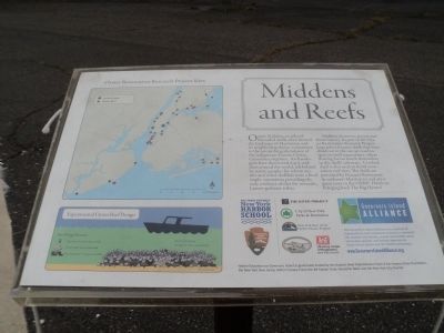
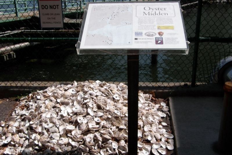
Oyster Middens, or piles of discarded shells, once littered the landscape of Manhattan and its neighboring shores, a testament to the astonishing abundance of the indigenous European Oyster, Crassostrea virginica. Archaeologists have discovered many middens around the world, left behind by native peoples for whom oysters and other shellfish were a food staple, sometimes providing the only evidence of diet for nomadic, hunter-gatherer tribes.
Middens, however, are not just about history. As part of the Oyster Restoration Research Project, large piles of oyster shells that have dried out in the sun are used in spat-on-shell aquaculture, where floating larvae attach themselves to the shells’ substrate. Crushed shell is also used to build restoration reef sites. The shells are provided by Oceania Restaurant in midtown Manhattan and are a great asset to the ORRP. Here’s to bringing back The Big Oyster!
Topics. This historical marker is listed in these topic lists: Animals • Native Americans.
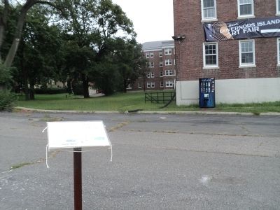
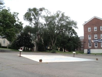
Location. 40° 41.261′ N, 74° 0.877′ W. Marker is in Manhattan, New York, in New York County. It is on Governors Island. Marker is at the intersection of Kimmel Road and Comfort Road, on the right when traveling south on Kimmel Road. Marker is located on the eastern end of Governors Island. Touch for map. Marker is in this post office area: New York NY 10004, United States of America. Touch for directions.
Other nearby markers. At least 8 other markers are within walking distance of this marker. Oysters in the Harbor: A History (a few steps from this marker); The Buttermilk Channel and Brooklyn Waterfront (within shouting distance of this marker); The South Battery (within shouting distance of this marker); St. Cornelius Chapel (within shouting distance of this marker); a different marker also named The South Battery (within shouting distance of this marker); Tower Carillon Chimes (within shouting distance of this marker); Maj. General Hanson E. Ely Retirement (about 300 feet away, measured in a direct line); John Peter Zenger (about 300 feet away). Touch for a list and map of all markers in Manhattan.
More about this marker. The marker was one of four originally located on the north end of the island between Buildings 12 and 301 near to the Brooklyn Battery Ventilator. They were moved when the area was taken over for construction storage.
Regarding Middens and Reefs. The upper left of the marker features a map of the Oyster Restoration Research Project Sites in the New York City area indicating the location of Oyster Gardens and Oyster Reefs. Below this is an illustration of an Experimental Reef Design. It depicts a boat over an oyster reef. Shown are a top layer of live oysters spat on shell, the next layer of 5cm mollusk shells, and the base material of 8” 12’ pieces of rubble.
Also see . . . Governors Island National Monument. National Park Service website. (Submitted on September 16, 2011, by Bill Coughlin of Woodland Park, New Jersey.)
Credits. This page was last revised on January 31, 2023. It was originally submitted on September 16, 2011, by Bill Coughlin of Woodland Park, New Jersey. This page has been viewed 539 times since then and 13 times this year. Last updated on April 30, 2020, by Larry Gertner of New York, New York. Photos: 1, 2, 3. submitted on September 16, 2011, by Bill Coughlin of Woodland Park, New Jersey. 4, 5, 6. submitted on April 30, 2020, by Larry Gertner of New York, New York. • J. Makali Bruton was the editor who published this page.
