Tell City in Perry County, Indiana — The American Midwest (Great Lakes)
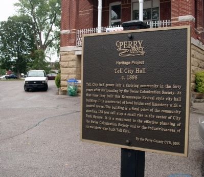
Tell City Hall
Heritage Project
Tell City Hall
c. 1898
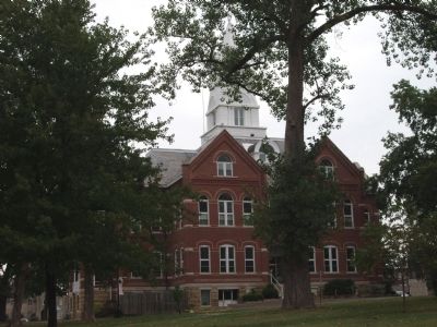
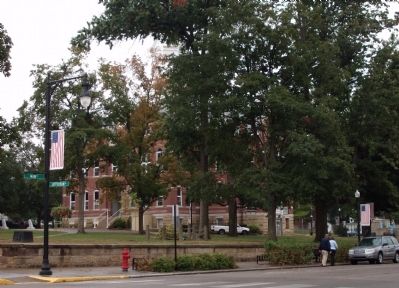
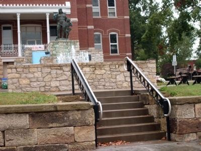
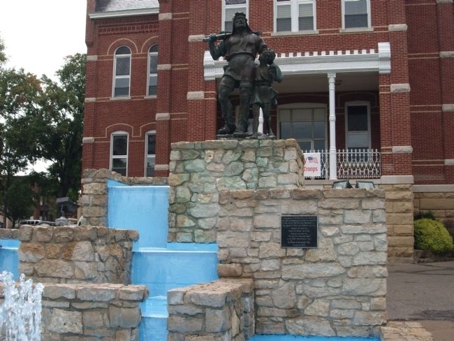
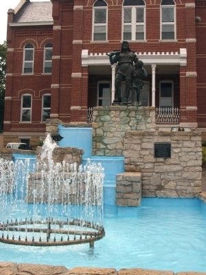
Tell City had grown into a thriving community in the forty years after its founding by the Swiss Colonization Society. At that time they built this Romanesque Revival style city hall building. It is constructed of local bricks and limestone with a central tower. The building is a focal point of the community standing 133 feet tall atop a small rise in the center of City Park Square. It is a monument to the effective planning of the Swiss Colonization Society and to the industriousness of its members who built Tell City.
Erected 2005 by Perry County CVB.
Topics. This historical marker is listed in these topic lists: Notable Buildings • Settlements & Settlers. A significant historical year for this entry is 1898.
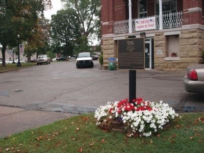
Location. 37° 57.089′ N, 86° 46.169′ W. Marker is in Tell City, Indiana, in Perry County. Marker is on Main Street north of Mozart Street, on the right when traveling north. Located on the West side of the Perry County Courthouse in Tell City, Indiana. (Drive into "City Park Square" by the City Hall for ease of parking and walking.). Touch for map. Marker is at or near this postal address: 700 Main Street, Tell City IN 47586, United States of America. Touch for directions.
Other nearby markers. At least 8 other markers are within 4 miles of this marker, measured as the crow flies. A Bit of Swiss (a few steps from this marker); Veterans Memorial (within shouting distance of this marker); Perry County Indiana Honor Roll Memorial (within shouting distance of this marker); Army and Air National Guard Veterans Memorial (within shouting distance of this marker); a different marker also named Veterans Memorial (approx. 1.2 miles away); Home of Robert C. Beauchamp / Early Plantation in County (approx. 2.8 miles away in Kentucky); Indiana Cotton Mill (approx. 3.1 miles away); Fabric of Cannelton (approx. 3.1 miles away). Touch for a list and map of all markers in Tell City.
Also see . . . History of Tell City. City website entry (Submitted on March 3, 2022, by Larry Gertner of New York, New York.)
Credits. This page was last revised on July 26, 2022. It was originally submitted on September 20, 2011, by Al Wolf of Veedersburg, Indiana. This page has been viewed 649 times since then and 30 times this year. Photos: 1, 2, 3, 4, 5, 6, 7, 8. submitted on September 20, 2011, by Al Wolf of Veedersburg, Indiana. • Bill Pfingsten was the editor who published this page.
