Near Daviston in Tallapoosa County, Alabama — The American South (East South Central)
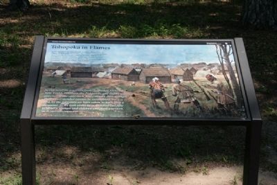
Tohopeka in Flames
Horseshoe Bend National Military Park
— National Park Service, U.S. Department of the Interior —
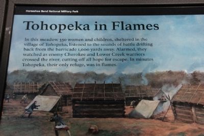
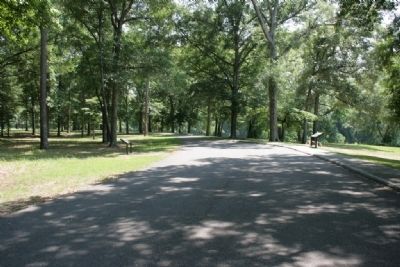
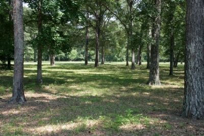
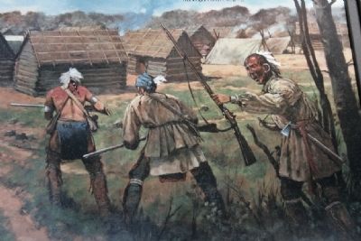
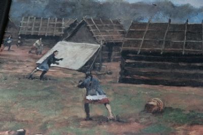
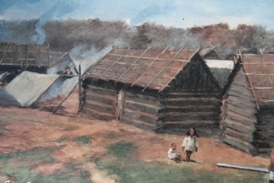
In this meadow 350 women and children, sheltered in the village of Tohopeka, listened to the sounds of battle drifting back from the barricade 1,000 yards away. Alarmed, they watched as enemy Cherokee and Lower Creek warriors crossed the river, cutting off all hope for escape. In minutes Tohopeka, their only refuge, was in flames.
The village under attack, may have included as many as 300 log huts, which resembled simple log cabins. Tohopeka meant fort or fence in the Muskogee (Creek) language.
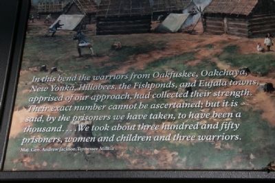
In this bend the warriors from Oakfuskee, Oakchaya, New Youka, Hillabees, the Fishponds, and Eufala towns, apprised of our approach, had collected their strength. Their exact number cannot be ascertained; but it is said, by the prisoners we have taken, to have been a thousand...We took about three hundred and fifty prisoners, women and children and three warriors.
Maj. Gen. Andrew Jackson, Tennessee Militia
Erected by National Park Service, U.S. Department of the Interior.
Topics and series. This historical marker is listed in these topic lists: Native Americans • Wars, US Indian. In addition, it is included in the Former U.S. Presidents: #07 Andrew Jackson series list.
Location. 32° 58.133′ N, 85° 44.557′ W. Marker is near Daviston, Alabama, in Tallapoosa County. Marker is on Battlefield Park Tour Road, on the left. Touch for map. Marker is at or near this postal address: 11288 Horseshoe Bend Road, Daviston AL 36256, United States of America. Touch for directions.
Other nearby markers. At least 8 other markers are within walking distance of this marker. With Deer Tails in Their Hair (here, next to this marker); The High Ground (approx. 0.2 miles away); They Fought to the Last (approx. 0.4 miles away); Who Were the Creek? (approx. half a mile away); Miller Covered Bridge (approx. half a mile away); While the Long Roll Was Beating (approx. 0.6 miles away); Charge! (approx. 0.6 miles away); Designed for Defense (approx. 0.6 miles away). Touch for a list and map of all markers in Daviston.
More about this marker. Tour Stop #3 Cherokee Crossing
The Red Sticks gathered in the “horseshoe” hoped the encircling river would protect them from Jackson’s attack. But Jackson surrounded the bend with his allied warriors, who, led by a Cherokee named Whale, launched a surprise rear attack into Tohopeka village. The warriors crossed the river in canoes stolen from the Creeks, Coffee said, “advanced into the village & very soon drove the enemy up from the bank of the river” to the barricade then under attack by Jackson’s militia and regulars. Coffee also said that “attempts to cross the river at all points of the bend were made by the enemy but not one escaped, very few ever reached the bank, and those were killed the very instant they landed.”
From Horseshoe Bend National Military Park Map and Guide Brochure.
Also see . . . Horseshoe Bend National Military Park. (Submitted on September 22, 2011, by Timothy Carr of Birmingham, Alabama.)
Credits. This page was last revised on August 4, 2020. It was originally submitted on September 22, 2011, by Timothy Carr of Birmingham, Alabama. This page has been viewed 946 times since then and 34 times this year. Photos: 1, 2, 3, 4, 5, 6, 7, 8, 9. submitted on September 22, 2011, by Timothy Carr of Birmingham, Alabama. • Bill Pfingsten was the editor who published this page.
