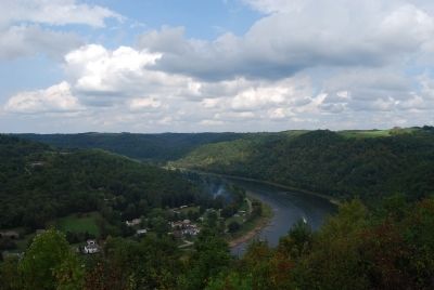
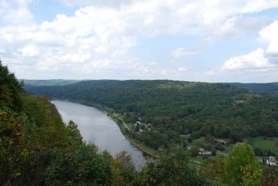
Near Rimersburg in Clarion County, Pennsylvania — The American Northeast (Mid-Atlantic)
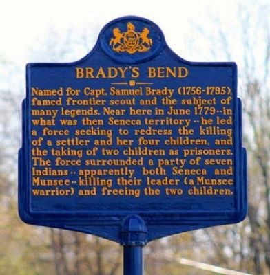
Brady's Bend
Erected 1946 by Pennsylvania Historical and Museum Commission.
Topics and series. This historical marker is listed in these topic lists: Native Americans • War, US Revolutionary. In addition, it is included in the Pennsylvania Historical and Museum Commission series list. A significant historical month for this entry is June 1779.
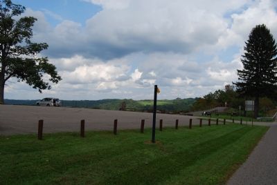
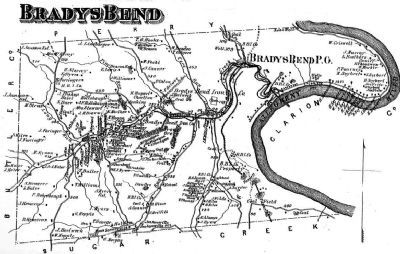
Location. 40° 59.283′ N, 79° 34.981′ W. Marker is near Rimersburg, Pennsylvania, in Clarion County. Marker is on Pennsylvania Route 68, 2 miles east of Robinson Street, on the right when traveling west. Located at Brady's Bend Overlook on PA 68. Touch for map. Marker is in this post office area: Rimersburg PA 16248, United States of America. Touch for directions.
Other nearby markers. At least 8 other markers are within 10 miles of this marker, measured as the crow flies. In Memorium of Those Whose Died in the August 14, 1980 Flood (approx. 2 miles away); Brady's Bend Works (approx. 2.3 miles away); St. Patrick's Church (approx. 4.7 miles away); Donald R. Lobaugh Memorial (approx. 5.8 miles away); Rural Electrification (approx. 8.9 miles away); Parker, Pennsylvania (approx. 9.1 miles away); Parker's Landing Petroglyphs (approx. 9.1 miles away); Buchanan Furnace (approx. 9.8 miles away).
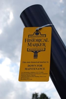
More about this marker. Marker has been returned.
Credits. This page was last revised on March 13, 2020. It was originally submitted on September 25, 2011, by Mike Wintermantel of Pittsburgh, Pennsylvania. This page has been viewed 809 times since then and 27 times this year. Photos: 1. submitted on March 13, 2014, by Keith S Smith of West Chester, Pennsylvania. 2, 3. submitted on September 25, 2011, by Mike Wintermantel of Pittsburgh, Pennsylvania. 4. submitted on March 13, 2014, by Keith S Smith of West Chester, Pennsylvania. 5. submitted on March 14, 2014, by Keith S Smith of West Chester, Pennsylvania. 6, 7. submitted on September 25, 2011, by Mike Wintermantel of Pittsburgh, Pennsylvania.
