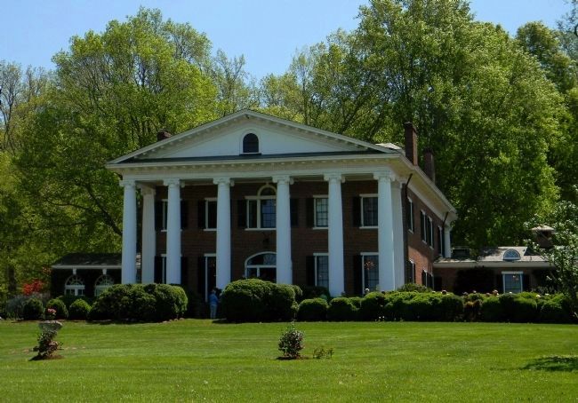
Near Orange in Madison County, Virginia — The American South (Mid-Atlantic)
Orange County / Madison County
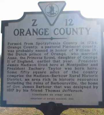
Orange County. Formed from Spotsylvania County in 1734, Orange County, a pastoral Piedmont county, was probably named in honor of William IV, the Dutch prince of Orange, who married Anne, the Princess Royal, daughter of George II of England, earlier that year. President James Madison lived here at Montpelier and President Zachary Taylor was born here. Some fifty square miles of the county comprise the Madison-Barbour Rural Historic District, an area rich in historic resources including the ruins of Barboursville, the home of Gov. James Barbour that was designed by 1817 by his friend Thomas Jefferson.
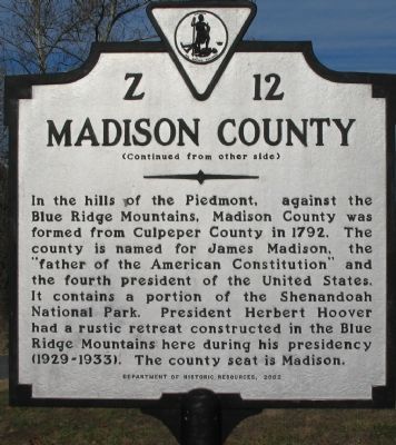
Madison County. In the hills of the Piedmont, against the Blue Ridge Mountains, Madison County was formed from Culpeper County in 1792. The county is named for James Madison, the "father of the American Constitution" and the fourth president of the United States. It contains a portion of the Shenandoah National Park. President Herbert Hoover had a rustic retreat constructed in the Blue Ridge Mountains here during his presidency (1929-1933). The county seat is Madison.
Erected 2002 by Department of Historic Resources. (Marker Number Z-12.)
Topics and series. This historical marker is listed in these topic lists: Colonial Era • Parks & Recreational Areas • Settlements & Settlers. In addition, it is included in the Former U.S. Presidents: #03 Thomas Jefferson, the Former U.S. Presidents: #04 James Madison, the Former U.S. Presidents: #12 Zachary Taylor, the Former U.S. Presidents: #31 Herbert Hoover, and the Virginia Department of Historic Resources (DHR) series lists. A significant historical year for this entry is 1734.
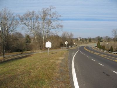
Location. 38° 16.79′ N, 78° 8.34′ W. Marker is near Orange, Virginia, in Madison County. Marker is at the intersection of South James Madison Highway (U.S. 15) and Little Skyline Drive (County Route 674), on the right when traveling south on South James Madison Highway. Touch for map. Marker is at or near this postal address: 9164 S James Madison Hwy, Orange VA 22960, United States of America. Touch for directions.
Other nearby markers. At least 8 other markers are within 3 miles of this marker, measured as the crow flies. Kemper's Grave (within shouting distance of this marker); Knights of the Golden Horseshoe (approx. ¼ mile away); Fry's / Barnett's Ford Road (approx. 1.3 miles away); Woodberry Forest School (approx. 1.4 miles away); World War II Memorial (approx. 2.8 miles away); Vietnam War Memorial (approx. 2.8 miles away); Korean War Memorial (approx. 2.8 miles away); World War I Memorial (approx. 2.8 miles away). Touch for a list and map of all markers in Orange.
Also see . . . Barboursville Ruins. Virginia state tourism entry. (Submitted on January 15, 2008, by Craig Swain of Leesburg, Virginia.)
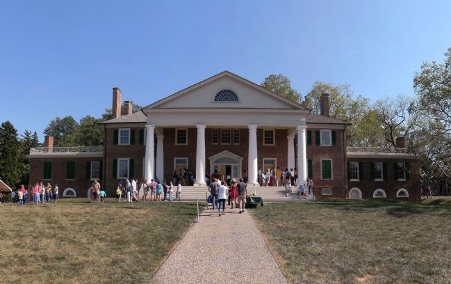
Photographed By PaulwC3, September 20, 2014
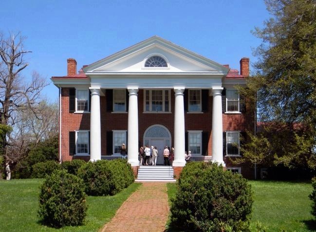
4. Montpelier (1764)
The home of President James Madison is one of the centerpiece estates of the Madison-Barbour Rural Historic District. Located near Montpelier Station, it was declared a National Historic Landmark in 1960 and listed on the National Register of Historic Places in 1966
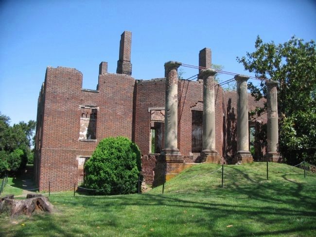
Photographed By Craig Swain, April 17, 2010
5. Barboursville (1822)
Designed by Thomas Jefferson and destroyed by fire in 1884, it is one of the centerpiece estates of the Madison-Barbour Rural Historic District. Located near Barboursville, it was listed on the National Register of Historic Places in 1969.
Credits. This page was last revised on July 8, 2021. It was originally submitted on January 15, 2008, by Craig Swain of Leesburg, Virginia. This page has been viewed 1,200 times since then and 29 times this year. Photos: 1, 2, 3. submitted on January 15, 2008, by Craig Swain of Leesburg, Virginia. 4. submitted on September 22, 2014, by PaulwC3 of Northern, Virginia. 5. submitted on April 27, 2010, by Craig Swain of Leesburg, Virginia. 6, 7. submitted on April 20, 2013, by PaulwC3 of Northern, Virginia.
