Near Beatrice in Gage County, Nebraska — The American Midwest (Upper Plains)
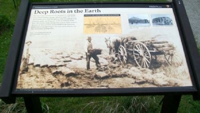
Deep Roots in the Earth
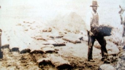
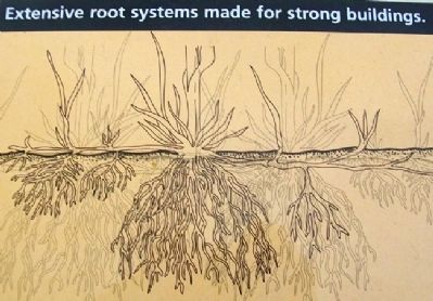
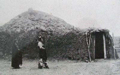
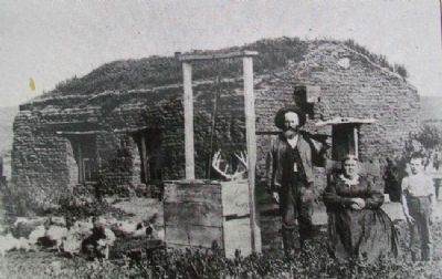
The most important part of a living prairie is something you can't see without taking a shovel in hand. The dense, interlocking roots of prairie grasses make an underground structure unlike anything seen in the woodlands of the East. The insects, birds, and grazing animals homesteaders first saw on these prairies all depended on the flowering plants and grasses grown in this native plant display and that unseen mat of deep roots.
Beside sod for building homes, how did homesteaders adapt prairie plants for their use?
Erected by National Park Service.
Topics. This historical marker is listed in these topic lists: Animals • Native Americans • Natural Resources • Settlements & Settlers.
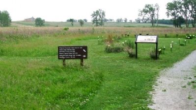
Location. 40° 17.439′ N, 96° 50.047′ W. Marker is near Beatrice, Nebraska, in Gage County. Marker is along the Farm Loop Trail. Touch for map. Marker is at or near this postal address: 8523 West Nebraska Hwy 4, Beatrice NE 68310, United States of America. Touch for directions.
Other nearby markers. At least 8 other markers are within walking distance of this marker. A Legacy of Change (within shouting distance of this marker); Roads to Success (approx. 0.4 miles away); Daniel and Agnes Freeman (approx. half a mile away); Success Was Only Natural (approx. half a mile away); Homesteading's Legacy is Written on the Land (approx. half a mile away); A Prairie Reborn (approx. half a mile away); The Homestead Heritage Center (approx. half a mile away); Is All Barbed Wire the Same? (approx. half a mile away). Touch for a list and map of all markers in Beatrice.
Also see . . .
1. Homestead National Monument of America. (Submitted on September 26, 2011, by William Fischer, Jr. of Scranton, Pennsylvania.)
2. Sod Homes: Be It Ever So Humble. (Submitted on September 26, 2011, by William Fischer, Jr. of Scranton, Pennsylvania.)
3. Prairie Preservation. (Submitted on September 26, 2011, by William Fischer, Jr. of Scranton, Pennsylvania.)
4. Sod Wall Construction. (Submitted on September 26, 2011, by William Fischer, Jr. of Scranton, Pennsylvania.)
5. The Physical Environment of the Great Plains. (Submitted on September 26, 2011, by William Fischer, Jr. of Scranton, Pennsylvania.)
Credits. This page was last revised on August 13, 2020. It was originally submitted on September 26, 2011, by William Fischer, Jr. of Scranton, Pennsylvania. This page has been viewed 534 times since then and 9 times this year. Photos: 1, 2, 3, 4, 5, 6. submitted on September 26, 2011, by William Fischer, Jr. of Scranton, Pennsylvania.
