Bowling Green in Warren County, Kentucky — The American South (East South Central)
Bowling Green
The Confederate Capitol of Kentucky
Inscription.
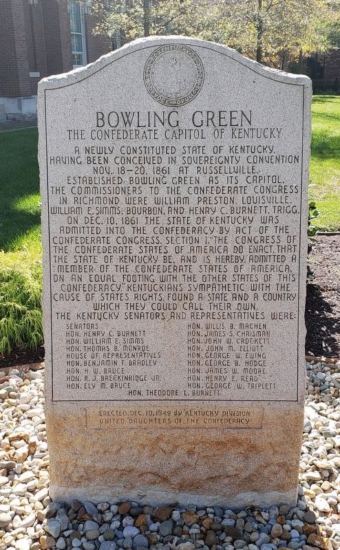
A newly constituted state of Kentucky, having been conceived in sovereignty convention Nov. 18-20, 1861 at Russellville, established Bowling Green as its capitol. The commissioners to the Confederate Congress in Richmond were William Preston, Louisville, William E. Simms, Bourbon, and Henry C. Burnett, Trigg. On Dec. 10, 1861 the State of Kentucky was admitted into the Confederacy by act of the Confederate States, Section 1. "The Congress of the Confederate States of America do enact that the State of Kentucky be, and is hereby admitted a member of the Confederate States of America, on an equal footing with the other states of this Confederacy." Kentuckians sympathetic with the cause of States Rights, founded a state and a country which they could call their own. The Kentucky Senators and Representatives were:
Senators
Hon. Henry C. Burnett
Hon. William E. Simms
Hon. Thomas B. Monroe
House of Representatives
Hon. H.W. Bruce
Hon. R. J. Breckinridge Jr.
Hon. Ely M. Bruce
Hon. Willis B. Machen
Hon. James S. Chrisman
Hon. John W. Crockett
Hon. John M. Elliott
Hon. George W. Ewing
Hon. George B. Hodge
Hon. James W. Moore
Hon. Henry E. Read
Hon. George W. Triplett
Hon Theodore L. Burnett
Erected 1949 by Kentucky Division, United Daughters of the Confederacy.
Topics and series. This historical marker is listed in this topic list: War, US Civil. In addition, it is included in the United Daughters of the Confederacy series list. A significant historical date for this entry is October 18, 1858.
Location. 36° 59.567′ N, 86° 26.573′ W. Marker is in Bowling Green, Kentucky, in Warren County. Marker can be reached from the intersection of East 10th Avenue and College Street, on the right when traveling east. Touch for map. Marker is in this post office area: Bowling Green KY 42101, United States of America. Touch for directions.
Other nearby markers. At least 8 other markers are within walking distance of this marker. Veterans of the American Revolution (here, next to this marker); Warren County's Chief USA Civil War Officers / Warren County's Awards (here, next to this marker); Warren County / Portage Railroad (here, next to this marker); Spanish - America War Memorial (a few steps from this marker); Bowling Green - Warren County (a few steps from this marker); Warren County Courthouse (within shouting distance of this marker); James T. Morehead, (1797-1854) (within shouting distance of this marker); Long Hunters (within shouting distance of this marker). Touch for a list and map of all markers in Bowling Green.
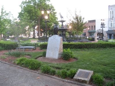
More about this marker. Originally located in Fountain Square Park at 445 E Main Ave (GPS 36.99336N, 86.44127W).
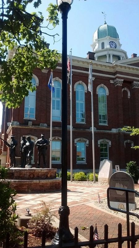
In 2017 moved to Veterans Memorial Courtyard between the Warren County Courthouse and Bowling Green City Hall.
Also see . . . City moves war monuments from Fountain Square Park. Bowling Green Daily News (11/1/2017) (Submitted on August 21, 2018.)
Credits. This page was last revised on February 8, 2021. It was originally submitted on September 26, 2011, by Sandra Hughes Tidwell of Killen, Alabama, USA. This page has been viewed 1,120 times since then and 34 times this year. Last updated on February 13, 2019, by Bradley Owen of Morgantown, West Virginia. Photos: 1. submitted on January 19, 2021, by Bradley Owen of Morgantown, West Virginia. 2. submitted on May 20, 2013, by Jennifer W. of Las Cruces, New Mexico. 3. submitted on June 27, 2020, by Tom Bosse of Jefferson City, Tennessee. 4. submitted on February 6, 2021, by Bradley Owen of Morgantown, West Virginia. • Bill Pfingsten was the editor who published this page.


