New Hope in Bucks County, Pennsylvania — The American Northeast (Mid-Atlantic)
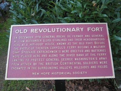
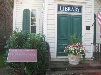
Old Revolutionary Fort
Erected by New Hope Historical Society.
Topics. This historical marker is listed in these topic lists: Forts and Castles • War, US Revolutionary. A significant historical month for this entry is December 1776.
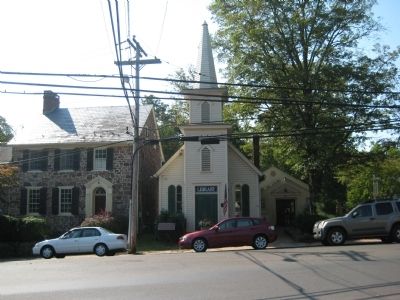
Location. 40° 21.827′ N, 74° 57.322′ W. Marker is in New Hope, Pennsylvania, in Bucks County. Marker is at the intersection of West Ferry Street and York Road, on the right when traveling east on West Ferry Street. Touch for map. Marker is in this post office area: New Hope PA 18938, United States of America. Touch for directions.
Other nearby markers. At least 8 other markers are within walking distance of this marker. The Beaumont House (approx. 0.2 miles away); Solebury National Bank (approx. 0.2 miles away); Indian Logan (approx. 0.2 miles away); Cannon (approx. 0.2 miles away); New Hope World War I Memorial (approx. 0.2 miles away); 28 South Main Street (approx. 0.2 miles away); Road to Monmouth Battlefield (approx. ¼ mile away); 36 South Main Street (approx. ¼ mile away). Touch for a list and map of all markers in New Hope.
Credits. This page was last revised on June 16, 2016. It was originally submitted on September 30, 2011, by Alan Edelson of Union Twsp., New Jersey. This page has been viewed 654 times since then and 20 times this year. Photos: 1, 2, 3. submitted on September 30, 2011, by Alan Edelson of Union Twsp., New Jersey. • Bill Pfingsten was the editor who published this page.


