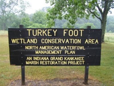
Near Hamlet in Starke County, Indiana — The American Midwest (Great Lakes)
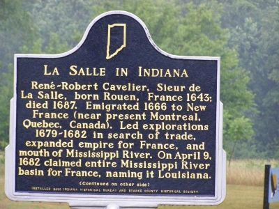
La Salle in Indiana
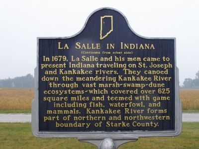
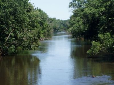
In 1679, La Salle and his men came to present Indiana traveling on St. Joseph and Kankakee rivers. They canoed down the meandering Kankakee River through vast marsh-swamp-dune ecosystems-which covered over 625 square miles and teemed with game including fish, waterfowl, and mammals. Kankakee River forms part of northern and northwestern boundary of Starke County.
Erected 2000 by Indiana Historical Bureau and Starke County Historical Society. (Marker Number 75.2000.1.)
Topics and series. This historical marker is listed in these topic lists: Colonial Era • Exploration • Industry & Commerce • Settlements & Settlers • Waterways & Vessels. In addition, it is included in the Indiana Historical Bureau Markers series list. A significant historical month for this entry is April 1865.
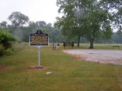
Location. 41° 23.779′ N, 86° 41.921′ W. Marker is near Hamlet, Indiana, in Starke County. Marker is on North Range Road, on the left when traveling north. Located off U.S. 30 (Lincoln Highway). West of Hamlet (5.5 miles) to County Road 50E. Turn south where it becomes E Yellowstone Trail. Follow it 1/2 mile to where the road turns south and changes names to N Range Road. Touch for map. Marker is in this post office area: Hamlet IN 46532, United States of America. Touch for directions.
Other nearby markers. At least 8 other markers are within 8 miles of this marker, measured as the crow flies. Veterans Memorial (approx. 4.7 miles away); Watchman's Tower (approx. 7.7 miles away); Site At Which Starke County Was Organized (approx. 7.7 miles away); Starke County Bridge #39 (approx. 7.7 miles away); Lincoln's Gettysburg Address (approx. 7.8 miles away); Starke County Honor Rolls (approx. 7.8 miles away); These Surplus Guns (approx. 7.8 miles away); Veterans Memorial Plaza (approx. 7.8 miles away).
Also see . . . "Indiana Everglades" ::. Courtesy of the "Kankakee Valley Historical Society" - a review of the wetlands of the Kankakee River Valley. (Submitted on June 6, 2011.)
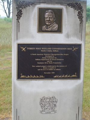
Photographed By Christopher Light, June 24, 2005
7. Turkey Foot Wetland Conservation Area (Nearby marker)
This wetland project is dedicated to the memory of Henry J. Landis II and his love of wildlife in Indiana.
November 1999
Credits. This page was last revised on November 19, 2019. It was originally submitted on January 18, 2008, by Christopher Light of Valparaiso, Indiana. This page has been viewed 3,921 times since then and 60 times this year. Photos: 1, 2, 3, 4, 5, 6, 7. submitted on January 18, 2008, by Christopher Light of Valparaiso, Indiana. • Kevin W. was the editor who published this page.
