Medora in Billings County, North Dakota — The American Midwest (Upper Plains)
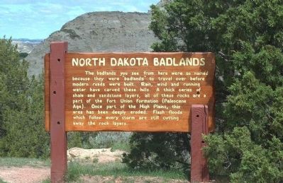
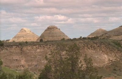
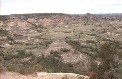
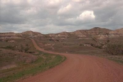
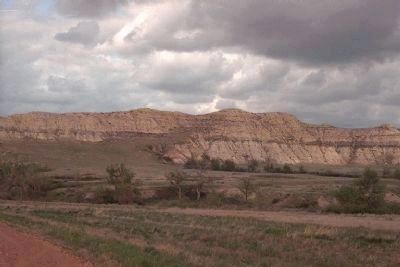
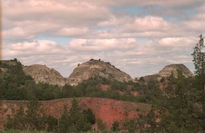
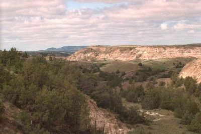
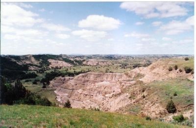
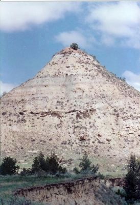
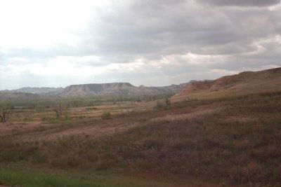
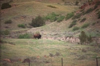
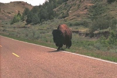
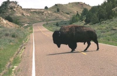
North Dakota Badlands
Erected by U.S. Department of the Interior.
Topics. This historical marker is listed in this topic list: Natural Features.
Location. 46° 58′ N, 103° 27′ W. Marker is in Medora, North Dakota, in Billings County. Marker is on Scenic Loop Drive, on the right when traveling east. located in Medora, just off Interstate 94 (exits 24 & 27) Theodore Roosevelt National Park. Touch for map. Marker is in this post office area: Medora ND 58645, United States of America. Touch for directions.
Other nearby markers. At least 8 other markers are within 5 miles of this marker, measured as the crow flies. Building From Hard Times (approx. 1.7 miles away); Beef Corral Bottom (approx. 2.1 miles away); Historic Medora—Boom and Bust (approx. 4.9 miles away); On Track to Adventure (approx. 4.9 miles away); Coal Mining (approx. 5 miles away); St. Mary’s Catholic Church (approx. 5 miles away); Von Hoffman House (approx. 5 miles away); Stephen Tyng Mather (approx. 5 miles away). Touch for a list and map of all markers in Medora.
Also see . . .
1. Theodore Roosevelt National Park - Badlands. "The Land God Forgot" by RealND.com (Submitted on January 19, 2008, by Mike Stroud of Bluffton, South Carolina.)
2. North Dakota's Badlands - North Dakota Notes. Rugged badlands carved from rocks ranging in age from Late Cretaceous through Eocene occur along the Little Missouri River in western North Dakota, USA. (Submitted on January 19, 2008, by Mike Stroud of Bluffton, South Carolina.)
3. Theodore Roosevelt National Park - Badlands. National Park Service site for the park. (Submitted on January 19, 2008, by Mike Stroud of Bluffton, South Carolina.)
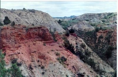
Photographed By Mike Stroud, June 1992
8. Scoria Point
True scoria is volcanic in origin. Locally, however, wherever a seam of coal has caught fire and baked the surrounding sand and clay into a kind of natural brick, it has been named scoria. Over the years erosion has removed the softer earth and left the bluffs capped with this harder, more resistant material.
Credits. This page was last revised on June 12, 2020. It was originally submitted on January 19, 2008, by Mike Stroud of Bluffton, South Carolina. This page has been viewed 8,183 times since then and 16 times this year. Photos: 1, 2, 3. submitted on January 19, 2008, by Mike Stroud of Bluffton, South Carolina. 4, 5. submitted on April 10, 2010, by Mike Stroud of Bluffton, South Carolina. 6. submitted on January 19, 2008, by Mike Stroud of Bluffton, South Carolina. 7. submitted on April 10, 2010, by Mike Stroud of Bluffton, South Carolina. 8, 9, 10, 11, 12. submitted on August 7, 2009, by Mike Stroud of Bluffton, South Carolina. 13, 14, 15. submitted on April 10, 2010, by Mike Stroud of Bluffton, South Carolina. 16. submitted on January 19, 2008, by Mike Stroud of Bluffton, South Carolina. • Craig Swain was the editor who published this page.
Editor’s want-list for this marker. A wide shot of the marker in context. • Can you help?
