Fort Trumbull in New London in New London County, Connecticut — The American Northeast (New England)
Post Civil War to 1910
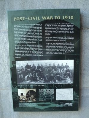
After the Civil War fewer troops were stationed at Fort Trumbull, but at least one artillery company continued to serve here each year into the early twentieth century. It became evident during the Civil War that advances in weapons had caused the stone forts built on the seacoast as part of the Third System to become outdated. New guns, called rifled cannon, fired pointed projectiles capable of piercing the stone walls of a fort in a single hit, something that round cannonballs could accomplish only with prolonged bombardment. In addition, rifled cannon could fire from much farther away than earlier guns could, which affected the strategic positioning of forts.
During 1875 and 1876, the army built an installation for a line of heavy guns north of the fort and facing the river in order to enhance the military capability of the post. Known as the North Battery, these gun platforms stood empty until the late 1890s due to funding constraints and changes in military priorities. Meanwhile, the effectiveness of Fort Trumbull continued to decline in the face of further advances in weaponry.
A buildup in arms for Fort Trumbull finally took place in the last decade of the nineteenth century and included three heavy guns called 15-inch Rodmans, which were installed at the North Battery. Most of the other guns were assigned to the older South Battery, the gun line closest to Long Island Sound. For the most part these newly added weapons were already outdated.
During the Spanish-American War (1898), Fort Trumbull served as an embarkation point for troops departing for Cuba or the Philippines.
In 1907, the army downgraded Fort Trumbull to a supply post because three new forts, built on islands at the eastern end of Long Island Sound, were better situated to defend the entrance to the Sound, as well as the approach to New London harbor. A mine company served at Fort Trumbull for three more years, until the post became the Revenue Cutter Service School of Instruction in 1910.
Erected by Fort Trumbull State Park.
Topics. This historical marker is listed in this topic list: Forts and Castles. A significant historical year for this entry is 1875.
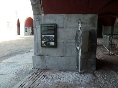
Location. 41° 20.614′ N, 72° 5.596′ W. Marker is in New London, Connecticut, in New London County. It is in Fort Trumbull. Marker can be reached from East Street, on the left when traveling south. Marker is located inside the fort at Fort Trumbull State Park. Touch for map. Marker is in this post office area: New London CT 06320, United States of America. Touch for directions.
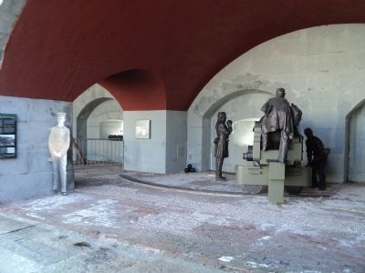
Other nearby markers. At least 8 other markers are within walking distance of this marker. Coast Guard (here, next to this marker); “Aim, Load, Fire” (here, next to this marker); Civil War (here, next
to this marker); The Third System (a few steps from this marker); War of 1812 (a few steps from this marker); Scientific Research (a few steps from this marker); American Revolution (a few steps from this marker); Merchant Marine (a few steps from this marker). Touch for a list and map of all markers in New London.
More about this marker. A photograph at the bottom of the marker depicts “Soldiers of Battery C, 4th U.S. Artillery, sit[ting] outside the fort in 1884.” Photo courtesy of Connecticut Historical Society. Below this is another photo of “Men from a signal corps and an artillery company gather[ing] inside the fort in 1898. One of the towers with a spiral staircase leading to the top of the fort can be seen on the left.”
A map at the lower right of the marker has a caption of “This plan shows Fort Trumbull in 1879. An army engineer report from 1882 warned ‘Occupation of New London by an enemy would give him practical control of Long Island Sound, with facilities for landing and embarking troops . . . . At the time the fort was built it was undoubtedly sufficient to prevent
such occupation; in the present state of the defenses the capture of this harbor would be an easy matter.’”
Also see . . . History of Fort Trumbull. Friends of Fort Trumbull website. (Submitted on October 15, 2011, by Bill Coughlin of Woodland Park, New Jersey.)
Credits. This page was last revised on February 10, 2023. It was originally submitted on October 15, 2011, by Bill Coughlin of Woodland Park, New Jersey. This page has been viewed 442 times since then and 5 times this year. Photos: 1, 2, 3. submitted on October 15, 2011, by Bill Coughlin of Woodland Park, New Jersey.


