Marker Logo HMdb.org THE HISTORICAL
MARKER DATABASE
“Bite-Size Bits of Local, National, and Global History”
Near Shamrock in Collingsworth County, Texas — The American South (West South Central)
 

Nicholson School


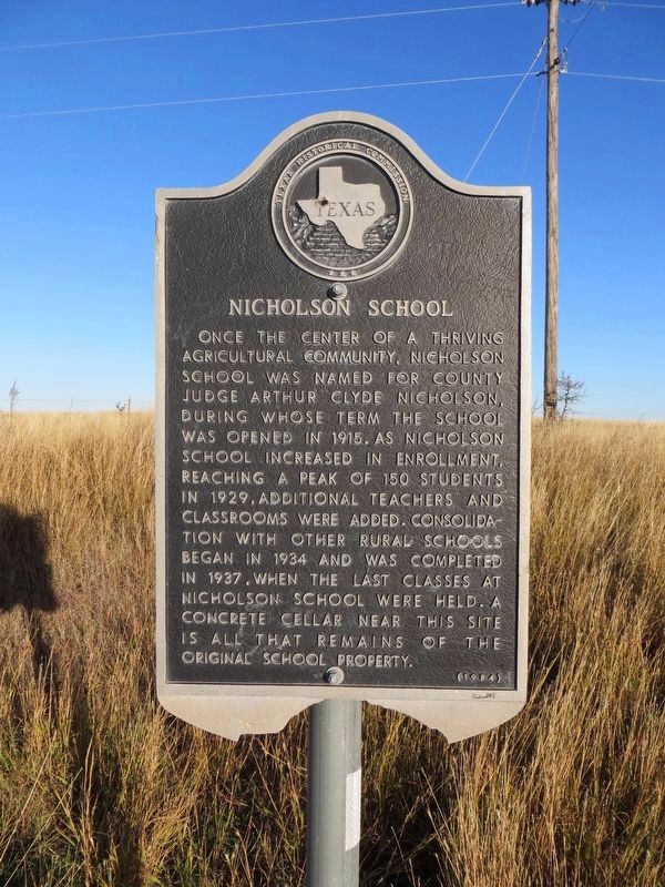
Nicholson School Marker image. Click for full size.
Photographed By Timothy McDaniel, October 15, 2011
1. Nicholson School Marker
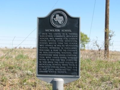
Inscription. Once the center of a thriving agricultural community, Nicholson School was named for county judge Arthur Clyde Nicholson, during whose term the school was opened in 1915. As Nicholson School increased in enrollment, reaching a peak of 150 students in 1929, additional teachers and classrooms were added. Consolidation with other rural schools began in 1934 and was completed in 1937, when the last classes at Nicholson School were held. A concrete cellar near this site is all that remains of the original school property.
 
Erected 1984 by Texas Historical Commission. (Marker Number 3594.)
 
Topics. This historical marker is listed in this topic list: Education. A significant historical year for this entry is 1915.
 
Location. 35° 4.591′ N, 100° 14.253′ W. Marker is near Shamrock, Texas, in Collingsworth County. Marker is on U.S. 83, 0.7 miles north of County Road H, on the right when traveling north. Touch for map. Marker is in this post office area: Shamrock TX 79079, United States of America. Touch for directions.
 
Other nearby markers. At least 8 other markers are within 10 miles of this marker, measured as the crow flies. Site of Lutie School (approx. 3.8 miles away); Site of Dozier Schoolhouse (approx. 6.1 miles away); Dozier Cemetery (approx. 7.2 miles away); The Red River Plunge of Bonnie and Clyde (approx. 8.1 miles away);
Paid Advertisement
Click on the ad for more information.
Please report objectionable advertising to the Editor.
Click or scan to see
this page online
Rocking Chair "Ranche" (approx. 8.1 miles away); Quanah Parker Trail (approx. 8.2 miles away); a different marker also named Quanah Parker Trail (approx. 8.4 miles away); Shamrock Cemetery (approx. 9.4 miles away). Touch for a list and map of all markers in Shamrock.
 
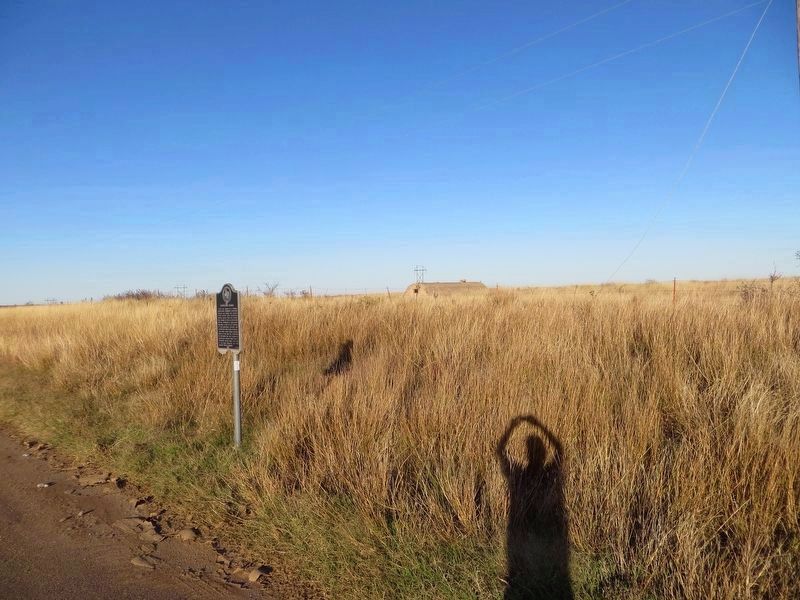
Nicholson School Marker image. Click for full size.
Photographed By Bill Kirchner, November 15, 2016
2. Nicholson School Marker
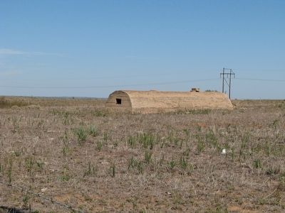
Nicholson School Marker image. Click for full size.
Photographed By Bill Kirchner, November 15, 2016
3. Nicholson School Marker
Top of concrete cellar in background.
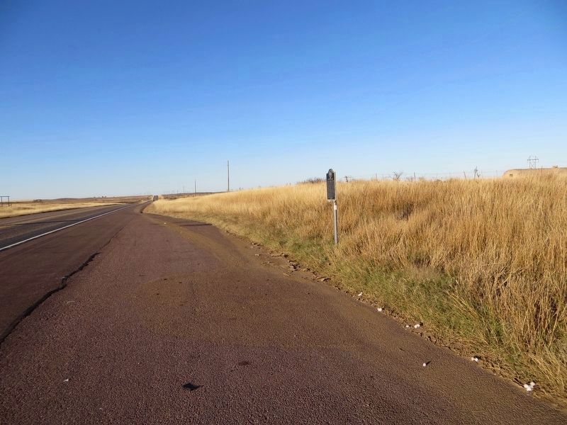
Nicholson School Marker image. Click for full size.
Photographed By Bill Kirchner, November 15, 2016
4. Nicholson School Marker
View north on highway US-83.
Nicholson School image. Click for full size.
Photographed By Timothy McDaniel, October 15, 2011
5. Nicholson School
 
 
Credits. This page was last revised on January 20, 2020. It was originally submitted on October 16, 2011, by Timothy McDaniel of Lewisville, Texas. This page has been viewed 1,120 times since then and 45 times this year. Photos:   1. submitted on October 16, 2011, by Timothy McDaniel of Lewisville, Texas.   2, 3, 4. submitted on December 8, 2016, by Bill Kirchner of Tucson, Arizona.   5. submitted on October 16, 2011, by Timothy McDaniel of Lewisville, Texas. • Bernard Fisher was the editor who published this page.
Share this page.  
Share on Tumblr
m=48387

CeraNet Cloud Computing sponsors the Historical Marker Database.
This website earns income from purchases you make after using our links to Amazon.com. We appreciate your support.
Paid Advertisement
Apr. 20, 2024