Eufaula in Barbour County, Alabama — The American South (East South Central)
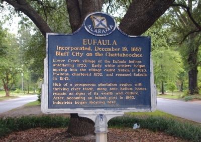
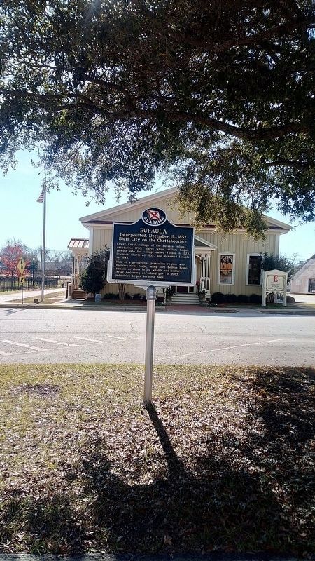
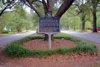
Eufaula
Incorporated, December 19, 1857
— Bluff City on the Chattahoochee. —
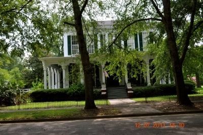
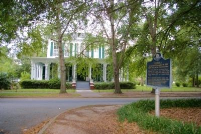
Hub of a prosperous plantation region with thriving river trade, many ante bellum homes remain as signs of its wealth and culture.
After becoming an inland port in 1963, industries began locating here.
Erected 1967 by Alabama Historical Association.
Topics and series. This historical marker is listed in this topic list: Political Subdivisions. In addition, it is included in the Alabama Historical Association series list. A significant historical year for this entry is 1733.
Location. 31° 53.584′ N, 85° 8.434′ W. Marker is in Eufaula, Alabama, in Barbour County. Marker is on East Broad Street, 0.1 miles north of North Livingston Ave, in the median. Touch for map. Marker is in this post office area: Eufaula AL 36027, United States of America. Touch for directions.
Other nearby markers. At least 8 other markers are within walking distance of this marker. The Creek Town of Eufaula (within shouting distance of this marker); The Town of Irwinton (within shouting distance of this marker); The Second Creek War in the Eufaula Area (within shouting distance of this marker); The City of Eufaula (within shouting distance of this marker); Central Railroad of Georgia Freight Depot (within shouting distance of this marker); William Thomas "Tom" Mann / Eufaula, Alabama (about 300 feet away, measured in a direct line); World War I Doughboy (about 500 feet away); The St. Julian Hotel (about 600 feet away). Touch for a list and map of all markers in Eufaula.
Credits. This page was last revised on January 5, 2021. It was originally submitted on October 17, 2011, by Sandra Hughes Tidwell of Killen, Alabama, USA. This page has been viewed 1,377 times since then and 49 times this year. Last updated on January 3, 2021, by James L.Whitman of Eufaula, Alabama. Photos: 1. submitted on October 17, 2011, by David Seibert of Sandy Springs, Georgia. 2. submitted on January 4, 2021, by James L.Whitman of Eufaula, Alabama. 3. submitted on October 17, 2011, by Sandra Hughes Tidwell of Killen, Alabama, USA. 4, 5. submitted on October 17, 2011, by David Seibert of Sandy Springs, Georgia. • Mark Hilton was the editor who published this page.
