Pocomoke City in Worcester County, Maryland — The American Northeast (Mid-Atlantic)
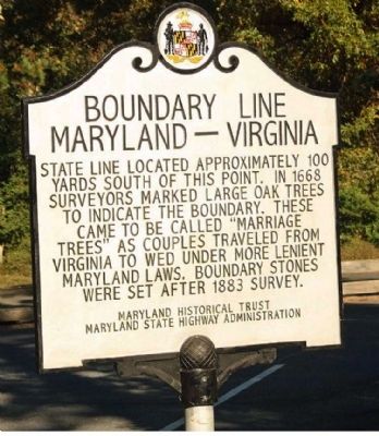
Boundary Line
Maryland - Virginia
Erected by Maryland Historical Trust, Maryland State Highway Administration.
Topics. This historical marker is listed in this topic list: Notable Places. A significant historical year for this entry is 1668.
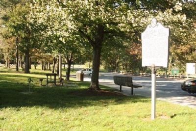
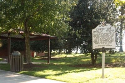
Location. 38° 0.289′ N, 75° 32.61′ W. Marker is in Pocomoke City, Maryland, in Worcester County. Marker is on Ocean Highway (U.S. 13), on the right when traveling north. Located at the Maryland Visitor's Center. Touch for map. Marker is in this post office area: Pocomoke City MD 21851, United States of America. Touch for directions.
Other nearby markers. At least 8 other markers are within 5 miles of this marker, measured as the crow flies. Cultural Treasures (here, next to this marker); Beach to Bay Indian Trail (here, next to this marker); Wicomico Treasures (a few steps from this marker); Maryland's Eastern Shore (a few steps from this marker); Mark O. Pilchard (within shouting distance of this marker); Pocomoke City Historic Railroad Station (approx. 4.6 miles away); Costen House (approx. 5 miles away); In Memory of the Deceased Who Served to Protect Our Country (approx. 5.1 miles away). Touch for a list and map of all markers in Pocomoke City.
Credits. This page was last revised on August 19, 2019. It was originally submitted on October 21, 2011, by Mike Stroud of Bluffton, South Carolina. This page has been viewed 760 times since then and 20 times this year. Photos: 1, 2, 3. submitted on October 23, 2011, by Mike Stroud of Bluffton, South Carolina.


