Fort Trumbull in New London in New London County, Connecticut — The American Northeast (New England)
Site Orientation
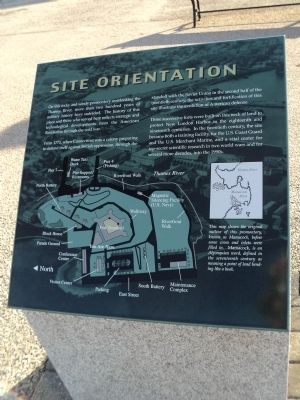
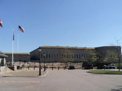
On this rocky and windy promontory overlooking the Thames River, more than two hundred years of military history have unfolded. The history of this place and those who served here reflects strategic and technological developments from the American Revolution through the cold war.
From 1775, when Connecticut was a colony preparing to defend itself against British oppression, through the standoff with the Soviet Union in the second half of the twentieth century, the activities and fortification of this site illustrate the evolution of American defense.
Three successive forts were built on this neck of land to protect New London Harbor in the eighteenth and nineteenth centuries. In the twentieth century, the site became both a training facility, for the U.S. Coast Guard and the U.S. Merchant Marine, and a vital center for top-secret scientific research in two world wars and for several more decades, into the 1990s.
Erected by Fort Trumbull State Park.
Topics. This historical marker is listed in this topic list: Forts and Castles. A significant historical year for this entry is 1775.
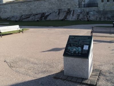
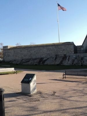
Location. 41° 20.62′ N, 72° 5.653′ W. Marker is in New London, Connecticut, in New London County. It is in Fort Trumbull. Marker can be reached from East Street, on the left when traveling south. Marker is located in Fort Trumbull State Park, at the northeast corner of the parking lot. Touch for map. Marker is in this post office area: New London CT 06320, United States of America. Touch for directions.
Other nearby markers. At least 8 other markers are within walking distance of this marker. Officers’ Quarters (within shouting distance of this marker); The Barracks (within shouting distance of this marker); Parade Ground (within shouting distance of this marker); Fort Trumbull (within shouting distance of this marker); Fort Interiors (within shouting distance of this marker); American Revolution (within shouting distance of this marker); War of 1812 (within shouting distance of this marker); South Battery (within shouting distance of this marker). Touch for a list and map of all markers in New London.
More about this marker. An illustration on the lower left of the marker depicts Fort Trumbull and the surrounding area. The location of the marker is noted, as well as other features of the site.
A map of Mamacock Point on the Thames River appears on the right of the marker. It has a caption of “This map shows the original outline of this promontory, known as Mamacock, before some coves and inlets were filled in. Mamacock, is an Algonquian word, defined in the seventeenth century as meaning a point of land bending like a hook.”
Also see . . . Fort Trumbell State Park. Friends of Fort Trumbull website homepage (Submitted on October 23, 2011, by Bill Coughlin of Woodland Park, New Jersey.)
Credits. This page was last revised on February 10, 2023. It was originally submitted on October 23, 2011, by Bill Coughlin of Woodland Park, New Jersey. This page has been viewed 376 times since then and 7 times this year. Photos: 1, 2, 3, 4, 5. submitted on October 23, 2011, by Bill Coughlin of Woodland Park, New Jersey.
