Paducah in McCracken County, Kentucky — The American South (East South Central)
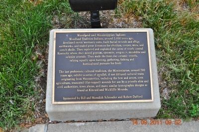
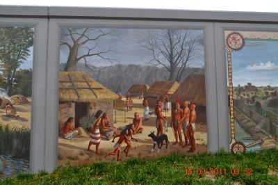
Woodland and Mississippian Indians
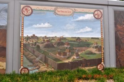
The last prehistoric cultural tradition, the Mississippian, around 700 years ago, exhibit a series of parallel, if not diffused cultural traits originating from Mesoamerica, including the bow and arrow, corn agriculture, truncated (flat-topped) mounds for use by a priestly elite and civil authorities, town plazas, and many similar iconographic designs as found at Kincaid and Wickliffe Mounds.
Erected by Sponsored by Bill and Meredith Schroeder and Robert Dafford.
Topics. This historical marker is listed in this topic list: Native Americans.
Location. 37° 5.288′ N, 88° 35.644′ W. Marker is in Paducah, Kentucky, in McCracken County. Marker is on South Water Street south of Broadway Street, on the left when traveling south. Touch for map . Marker is at or near this postal address: 117 S Water Street, Paducah KY 42001, United States of America. Touch for directions.
Other nearby markers. At least 8 other markers are within walking distance of this marker. Paleo and Archaic Indians (here, next to this marker); Chickasaw Tribe in Kentucky (here, next to this marker); Historic River Front (a few steps from this marker); First County Seat - Braxton Small (a few steps from this marker); Iced Solid - Clear to Illinois! (a few steps from this marker); Federal Occupation of Paducah (a few steps from this marker); Marine Ways (a few steps from this marker); Visitors Coming to Paducah (a few steps from this marker). Touch for a list and map of all markers in Paducah.
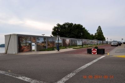
Also see . . . The Paducah Wall to Wall Floodwall Mural Project. Renowned artist Robert Dafford and his team of muralists capture Paducah’s rich history in paintings on the city’s floodwall overlooking the confluence of the Ohio and Tennessee Rivers. (Submitted on October 25, 2011.)
Credits. This page was last revised on June 16, 2016. It was originally submitted on October 24, 2011, by Sandra Hughes Tidwell of Killen, Alabama, USA. This page has been viewed 755 times since then and 11 times this year. Photos: 1, 2, 3, 4. submitted on October 24, 2011, by Sandra Hughes Tidwell of Killen, Alabama, USA. • Bernard Fisher was the editor who published this page.


