Camden in Kershaw County, South Carolina — The American South (South Atlantic)
A Final Encounter
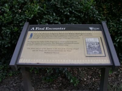
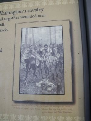
The American ruse worked, Coffin charged into an ambush and his troops were routed. The Loyalists fled to Camden, while Washington and Kirkwood rounded up a number of American soldiers and returned to Greene’s camp.
“The Horse and part of the Infantry at the close of the Evening charged upon the Enemy who retreated immediately into Town.” Nathanael Greene
Topics. This historical marker is listed in this topic list: War, US Revolutionary.
Location. 34° 15.86′ N, 80° 36.526′ W. Marker is in Camden, South Carolina, in Kershaw County. Marker is at the intersection of Greene Street and Broad Street, on the left when traveling north on Greene Street. Touch for map. Marker is in this post office area: Camden SC 29020, United States of America. Touch for directions.
Other nearby markers. At least 8 other markers are within walking distance of this marker. Battle of Hobkirk Hill (within shouting distance of this marker); General Greene's Headquarters (about 500 feet away, measured in a direct line); Forced to Retreat (about 700 feet away); Struggle for the Hill (approx. 0.2 miles away); Battle Of Hobkirk Hill (approx. ¼ mile away); William Washington's Ride (approx. ¼ mile away); Fruitless Victory (approx. ¼ mile away); Greene's Counterblow (approx. ¼ mile away). Touch for a list and map of all markers in Camden.
Credits. This page was last revised on June 16, 2016. It was originally submitted on October 25, 2011, by Anna Inbody of Columbia, South Carolina. This page has been viewed 673 times since then and 20 times this year. Photos: 1, 2, 3. submitted on October 25, 2011, by Anna Inbody of Columbia, South Carolina. • Craig Swain was the editor who published this page.


