Greenbrier West in Chesapeake, Virginia — The American South (Mid-Atlantic)
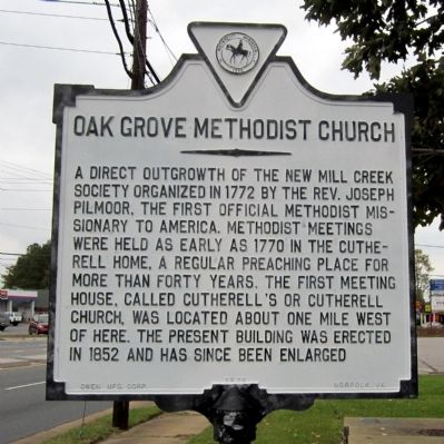
Oak Grove Methodist Church
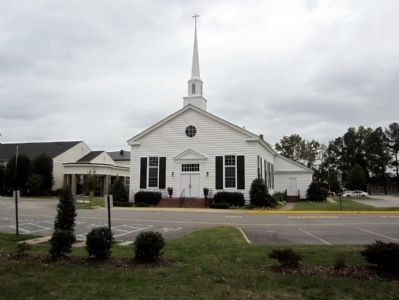
A direct outgrowth of the New Mill Creek Society organized in 1772 by the Rev. Joseph Pilmoor, the first official Methodist missionary to America. Methodist meetings were held as early as 1770 in the Cutherell home, a regular preaching place for more than forty years. The first meeting house, called Cutherell’s or Cutherell Church, was located about one mile west of here. The present building was built in 1852 and has since been enlarged.
Erected 1970 by Owen Mfg. Corp.
Topics. This historical marker is listed in these topic lists: Churches & Religion • Colonial Era. A significant historical year for this entry is 1772.
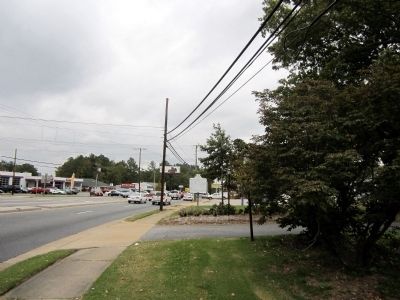
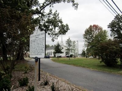
Location. 36° 43.985′ N, 76° 14.416′ W. Marker is in Chesapeake, Virginia. It is in Greenbrier West. Marker is at the intersection of North Battlefield Boulevard (Virginia Route 168) and Great Bridge Boulevard (Virginia Route 190), on the right when traveling south on North Battlefield Boulevard. Touch for map. Marker is at or near this postal address: 472 N Battlefield Blvd, Chesapeake VA 23320, United States of America. Touch for directions.
Other nearby markers. At least 8 other markers are within walking distance of this marker. Welcome (approx. ¾ mile away); Bridging the Past with the Present (approx. ¾ mile away); The Battle of Great Bridge (approx. ¾ mile away); Village of Great Bridge (approx. ¾ mile away); What is a Lock? (approx. ¾ mile away); Why Build a Canal Here? (approx. ¾ mile away); Liquid Highways (approx. ¾ mile away); The Iron Titans Tame the Marsh (approx. ¾ mile away). Touch for a list and map of all markers in Chesapeake.
Also see . . . Oak Grove United Methodist Church. Church website homepage (Submitted on October 29, 2011, by Bernard Fisher of Richmond, Virginia.)
Credits. This page was last revised on February 1, 2023. It was originally submitted on October 29, 2011, by Bernard Fisher of Richmond, Virginia. This page has been viewed 1,006 times since then and 20 times this year. Photos: 1, 2, 3, 4. submitted on October 29, 2011, by Bernard Fisher of Richmond, Virginia.


