Fort Washington in Prince George's County, Maryland — The American Northeast (Mid-Atlantic)
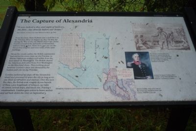
The Capture of Alexandria
Oxon Cove Park
— National Park Service, U.S. Department of the Interior —
“It was indeed a day and night of horrors, the fleet … lay directly before our house.”
Mary DeButts, writing to her sister Millicent on March 18, 1815.
From this farm, Mary DeButts saw a small fleet on the Potomac River on August 29, 1814. On that day during the War of 1812, the British Navy Capt. James Gordon accepted the surrender of Alexandria – without firing a shot. From here, you can see the Alexandria wharves and some of the same buildings.
About two weeks earlier, the British commander had started his seven ships up the Potomac to distract American soldiers and militia from the land attack on Washington. The British chased the American defenders from Fort Washington on the Maryland shore. Then nothing stood between Gordon’s ships and Alexandria, the busiest port city on the Potomac.
Gordon anchored his ships off the Alexandria wharf and promised to spare the city as long as no one fired on his sailors and marines. Over the next five days, the British took roughly 16,000 barrels of flour, 1,000 hogsheads of tobacco, 150 bales of cotton, several ships, and much else. Fearing a counterattack, Gordon gave orders to heave anchor and sail back down the river on September 3.
Illustration Captions:
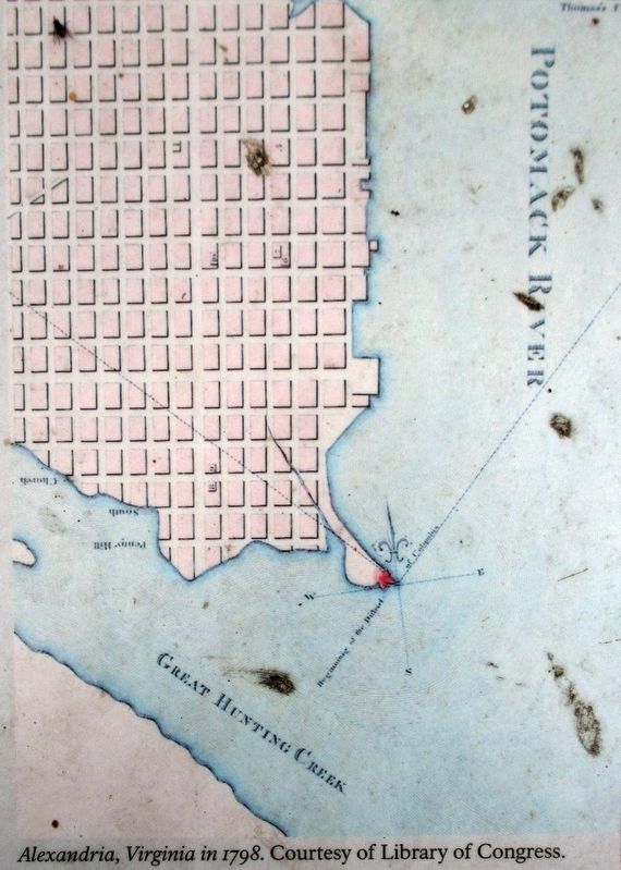
[Chart of the “Potomack” River above Great Hunting Creek] Alexandria, Virginia in 1798. Courtesy of Library of Congress.
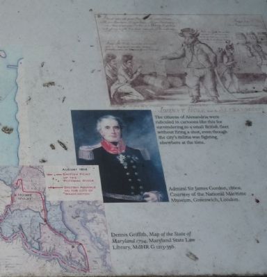
Dennis Griffith, Map of the State of Maryland 1794, Maryland State Law Library, MdHR G 1213-356 [tracing the] British feint up the Potomac River and their advance on the City of Washington across Prince George’s County in August 1814 - with “Mount Welby” highlighted.
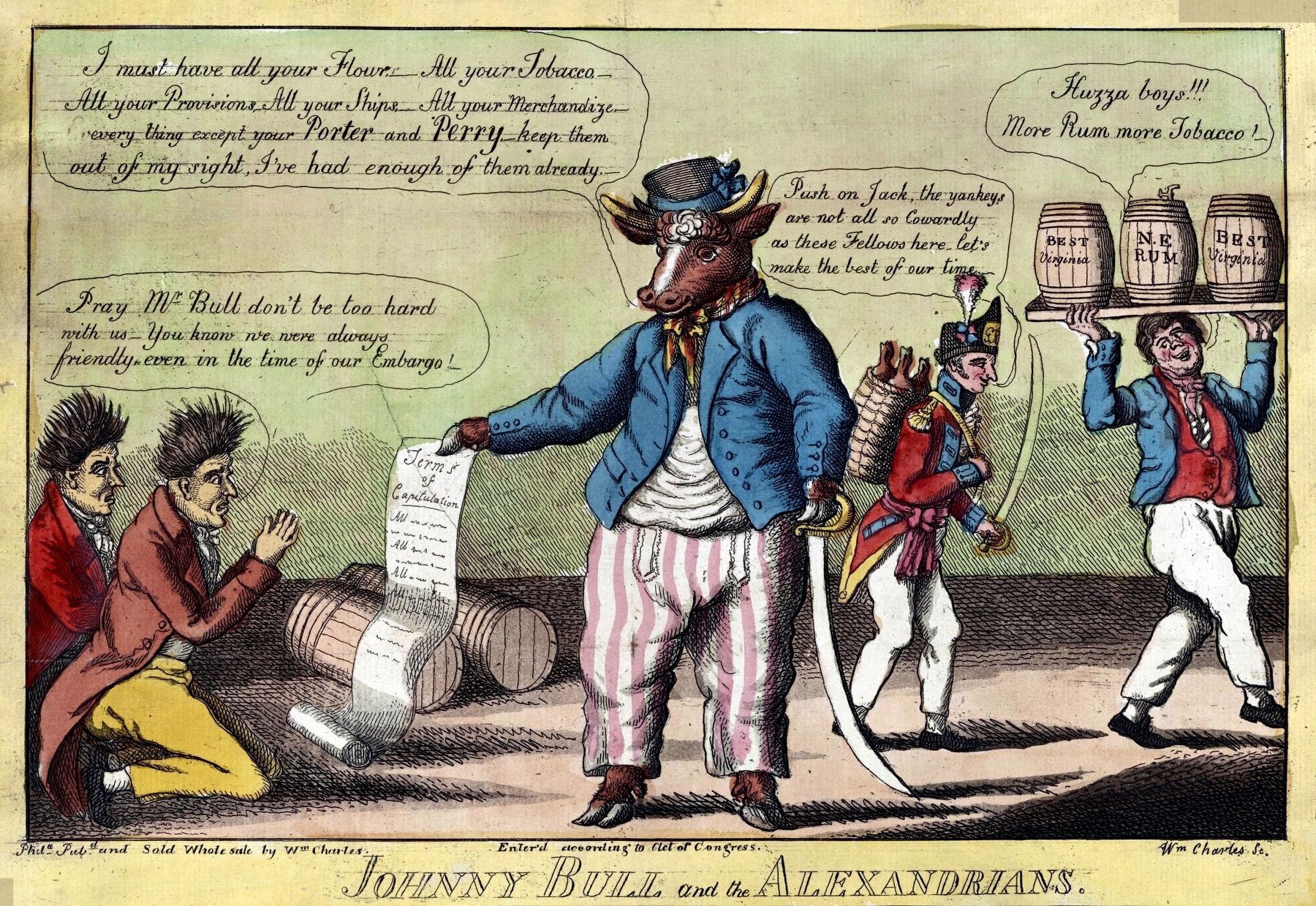
[Contemporary cartoon, “Johnny Bull and the Alexandrians”] The citizens of Alexandria were ridiculed in cartoons like this for surrendering to a small British fleet without firing a shot, even though the city’s militia was fighting elsewhere at the time.
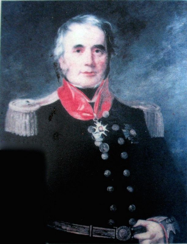
[Portrait] Admiral Sir James Gordon, 1860s. Courtesy of the National Maritime Museum, Greenwich, London.
Erected by National Park Service, U.S. Department of the Interior.
Topics. This historical marker is listed in these topic lists: War of 1812 • Waterways & Vessels. A significant historical month for this entry is March 1740.
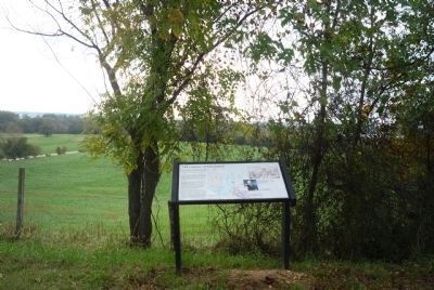
Location. 38° 48.254′ N, 77° 0.698′ W. Marker is in Fort Washington, Maryland, in Prince George's County. Marker is on Oxon Hill Farm Trail west of Bald Eagle Road, on the right when traveling west. Marker is northwest of the Oxon Hill Farm - at the curve in the Oxon Hill Farm Trail, below Mount Welby on the wooded hill overlooking the Oxon Cove Park.
Touch for map. Marker is at or near this postal address: 6411 Oxon Hill Road, Oxon Hill MD 20745, United States of America. Touch for directions.
Other nearby markers. At least 8 other markers are within walking distance of this marker. Oxon Cove, the Potomac, and the Chesapeake (within shouting distance of this marker); The Potomac Highway (about 500 feet away, measured in a direct line); Rockets on the Hill (about 700 feet away); War Comes to Mount Welby (approx. 0.2 miles away); Mount Welby (approx. 0.2 miles away); The DeButts Family Comes to Maryland (approx. 0.2 miles away); The Burning of Washington, D.C. (approx. 0.2 miles away); Root Cellar (approx. ¼ mile away). Touch for a list and map of all markers in Fort Washington.
Additional keywords. Royal Navy
Credits. This page was last revised on March 3, 2023. It was originally submitted on October 30, 2011, by Richard E. Miller of Oxon Hill, Maryland. This page has been viewed 691 times since then and 7 times this year. Photos: 1, 2, 3, 4. submitted on October 30, 2011, by Richard E. Miller of Oxon Hill, Maryland. 5, 6, 7. submitted on December 24, 2016, by Allen C. Browne of Silver Spring, Maryland. 8. submitted on October 30, 2011, by Richard E. Miller of Oxon Hill, Maryland. • Bill Pfingsten was the editor who published this page.
