Upper Lake in Lake County, California — The American West (Pacific Coastal)
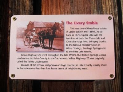
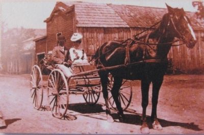
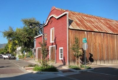
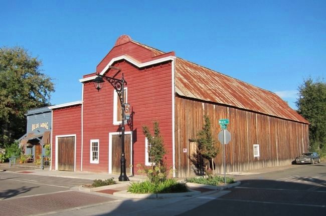
The Livery Stable
Before Highway 20 went through in the late 1920's, the Bartlett Springs-Colusa Road connected Lake County to the Sacramento Valley. Highway 20 was originally called the Tahoe-Ukiah Route.
Because of the terrain, old photos of stage coaches in Lake County usually show six horse teams rather than four horse teams of neighboring areas.
Topics. This historical marker is listed in this topic list: Roads & Vehicles. A significant historical year for this entry is 1870.
Location. 39° 9.88′ N, 122° 54.643′ W. Marker is in Upper Lake, California, in Lake County. Marker is at the intersection of Main Street and First Street, on the right when traveling north on Main Street. Touch for map. Marker is in this post office area: Upper Lake CA 95485, United States of America. Touch for directions.
Other nearby markers. At least 8 other markers are within walking distance of this marker. Upper Lake (here, next to this marker); Bank of Upper Lake (within shouting distance of this marker); League's Store (within shouting distance of this marker); The Ice House (within shouting distance of this marker); The IOOF Hall (within shouting distance of this marker); The Tallman Hotel (within shouting distance of this marker); Diamond Match Lumber Co. (within shouting distance of this marker); The West Side of Main Street (within shouting distance of this marker). Touch for a list and map of all markers in Upper Lake.
Credits. This page was last revised on June 16, 2016. It was originally submitted on October 30, 2011, by Andrew Ruppenstein of Lamorinda, California. This page has been viewed 874 times since then and 28 times this year. Photos: 1, 2, 3, 4. submitted on October 30, 2011, by Andrew Ruppenstein of Lamorinda, California. • Syd Whittle was the editor who published this page.


