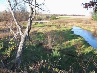
Near Eagleton in Chippewa County, Wisconsin — The American Midwest (Great Lakes)
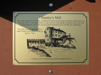
Stanley's Mill
The entire site was destroyed by a major flood of the O'Neil Creek on April 3, 1934.
Marker Sign #8
Erected by the Chippewa County Historical Society. (Marker Number 8.)
Topics. This historical marker is listed in these topic lists: Disasters • Industry & Commerce. A significant historical month for this entry is April 1869.
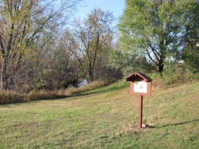
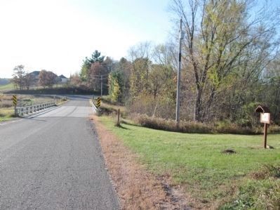
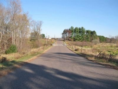
Location. 45° 2.331′ N, 91° 24.807′ W. Marker is near Eagleton, Wisconsin, in Chippewa County. Marker is on 135th Avenue / Folker Road east of 128th Street / Baier Road, on the left when traveling east. Marker is immediately east of O'Neil Creek. Touch for map. Marker is at or near this postal address: 12822 135th Avenue, Bloomer WI 54724, United States of America. Touch for directions.
Other nearby markers. At least 8 other markers are within 7 miles of this marker, measured as the crow flies. Saint Peter's Catholic Church (approx. 2.6 miles away); Nation's First Cooperative Generating Station (approx. 2.7 miles away); First Farm in Chippewa County (approx. 4 miles away); First Congregational United Church of Christ (approx. 5.7 miles away); Bear Den Road Bridge (approx. 5.9 miles away); Sunny Valley School (approx. 6 miles away); Pioneer Norwegian Log Home (approx. 6 miles away); William Irvine (approx. 6.3 miles away).
Credits. This page was last revised on June 16, 2016. It was originally submitted on October 31, 2011, by Keith L of Wisconsin Rapids, Wisconsin. This page has been viewed 730 times since then and 16 times this year. Photos: 1, 2, 3, 4, 5. submitted on October 31, 2011, by Keith L of Wisconsin Rapids, Wisconsin.
