Near Keedysville in Washington County, Maryland — The American Northeast (Mid-Atlantic)
Felfoot Bridge
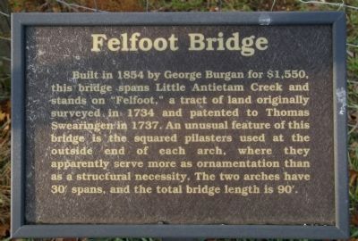
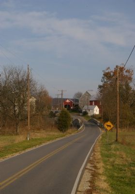
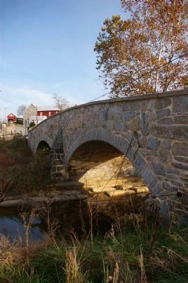
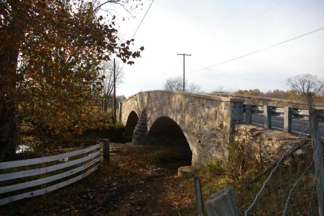
Built in 1854 by George Burgan for $1,550, this bridge spans Little Antietam Creek and stands on "Felfoot" a tract of land originally surveyed in 1734 and patented to Thomas Swearingen in 1737. An unusual feature of this bridge is the squared pilasters used at the outside end of each arch, where they apparently serve more as ornamentation than as a structural necessity. The two arches have 30' spans, and the total bridge length is 90'.
Erected by Washington County Historical Advisory Committee.
Topics and series. This historical marker is listed in these topic lists: Bridges & Viaducts • Roads & Vehicles. In addition, it is included in the Maryland, Washington County Historical Advisory Committee series list. A significant historical year for this entry is 1854.
Location. 39° 28.606′ N, 77° 41.302′ W. Marker is near Keedysville, Maryland, in Washington County. Marker is on Dogstreet Road. Touch for map. Marker is in this post office area: Keedysville MD 21756, United States of America. Touch for directions.
Other nearby markers. At least 8 other markers are within one mile of this marker, measured as the crow flies. Hess’s Mill Bridge (approx. one mile away); Keedysville (approx. one mile away); Keedysville World War I Memorial (approx. one mile away); Keedysville District World War II Memorial (approx. one mile away); Keedysville Korea & Vietnam Memorial (approx. one mile away); Brandenburg Field (approx. one mile away); Pry’s Mill Bridge (approx. 1.1 miles away); History of Fairview Cemetery (approx. 1.1 miles away). Touch for a list and map of all markers in Keedysville.
Also see . . . The Bridges of Washington County. Arlington Magazine website entry (Submitted on March 29, 2022, by Larry Gertner of New York, New York.)
Credits. This page was last revised on March 29, 2022. It was originally submitted on January 23, 2008, by Christopher Busta-Peck of Shaker Heights, Ohio. This page has been viewed 1,674 times since then and 20 times this year. Photos: 1, 2, 3, 4. submitted on January 23, 2008, by Christopher Busta-Peck of Shaker Heights, Ohio. • Craig Swain was the editor who published this page.


