Liberty Hill in Kershaw County, South Carolina — The American South (South Atlantic)
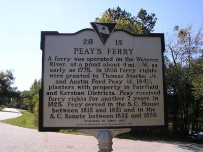
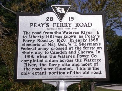
Peay's Ferry / Peay's Ferry Road
A ferry was operated on the Wateree River, at a point about 4 mi. W, as early as 1775. In 1808 ferry rights were granted to Thomas Starke, Jr. and Austin Ford Peay (d. 1841), planters with property in Fairfield and Kershaw Districts. Peay received ferry rights for another 7 years in 1825. Peay served in the S.C. House between 1812 and 1831 and in the S.C. Senate between 1832 and 1839.
(Reverse)
The road from the Wateree River E to Liberty Hill was known as Peay's Ferry Road by 1820. In early 1865, elements of Maj. Gen. W.T. Sherman's Federal army crossed at the ferry on their way to Camden and Cheraw. In 1919, when the Wateree Power Co. completed a dam across the Wateree River, the ferry site and most of the road were flooded. This is the only extant portion of the old road.
Erected 2005 by Kershaw County Historical Society. (Marker Number 28 - 15.)
Topics. This historical marker is listed in these topic lists: Roads & Vehicles • War, US Civil • Waterways & Vessels. A significant historical year for this entry is 1775.
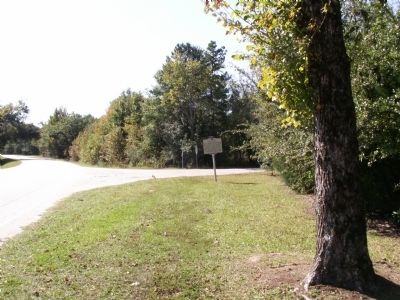
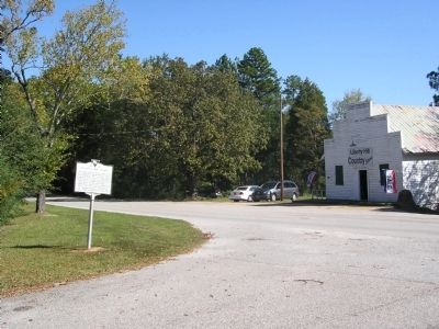
Location. 34° 28.347′ N, 80° 48.257′ W. Marker is in Liberty Hill, South Carolina, in Kershaw County. Marker is at the intersection of State Highway 97 and Peay's Ferry Road, on the left when traveling north on State Highway 97. Touch for map. Marker is in this post office area: Liberty Hill SC 29074, United States of America. Touch for directions.
Other nearby markers. At least 8 other markers are within 11 miles of this marker, measured as the crow flies. Warrenton Muster Ground (approx. 3.8 miles away); Stoneboro (approx. 6 miles away); Rocky Mount (approx. 6.3 miles away); Camp Welfare (approx. 8˝ miles away); Mt. Carmel Campground (approx. 8.7 miles away); Beaver Creek Skirmish / Capture of Provisions at Flat Rock (approx. 9.7 miles away); James Ingram Home (approx. 9.9 miles away); Birthplace of James Marion Sims, M.D. (approx. 10.1 miles away).
Credits. This page was last revised on June 16, 2016. It was originally submitted on November 9, 2011, by Anna Inbody of Columbia, South Carolina. This page has been viewed 1,069 times since then and 40 times this year. Photos: 1, 2, 3, 4. submitted on November 9, 2011, by Anna Inbody of Columbia, South Carolina. • Craig Swain was the editor who published this page.


