Deadwood in Lawrence County, South Dakota — The American Midwest (Upper Plains)
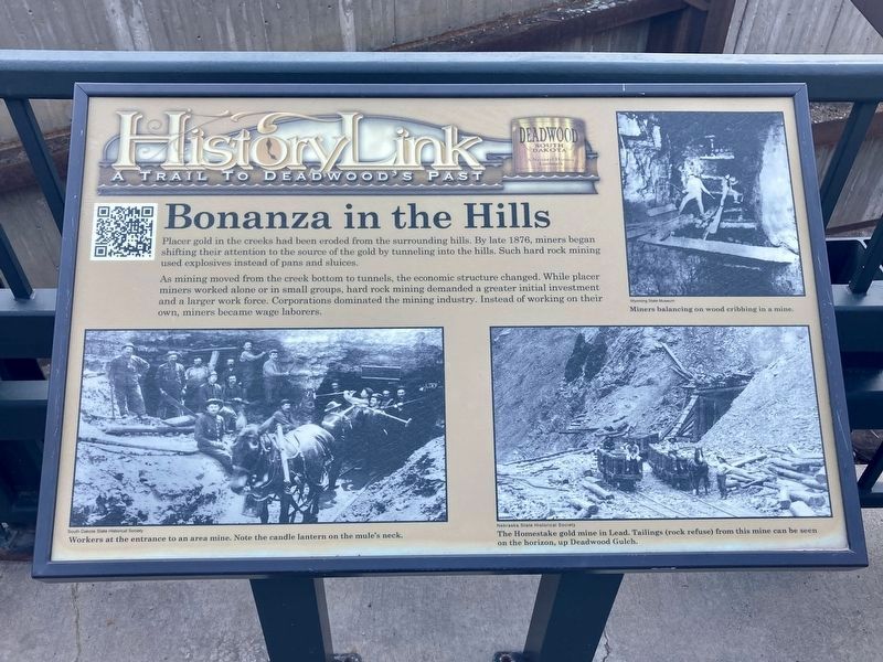
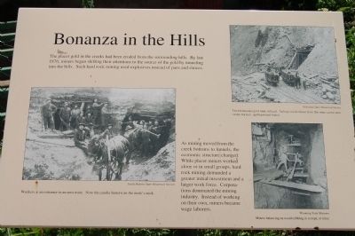
Bonanza in the Hills
As mining moved from the creek bottoms to tunnels, the economic structure changed. While placer miners worked alone or in small groups, hard rock mining demanded a great initial investment and a larger work force. Corporations dominated the mining industry. Instead of working on their own, miners became wage laborers.
Captions:
Workers at an entrance to an area mine. Note the candle lantern on the mule’s neck.
The Homestake gold mine in Lead. Tailings (rock refuse) from the mine can be seen on the horizon, up Deadwood Gulch.
Miners balancing on wood cribbing in a mine.
Erected by Deadwood Historic Preservation Commission.
Topics. This historical marker is listed in this topic list: Industry & Commerce. A significant historical year for this entry is 1876.
Location. 44° 22.475′ N, 103° 43.827′ W. Marker is in Deadwood, South Dakota, in Lawrence County. Marker is on Deadwood Mount Drive south of Pine Street, on the right when traveling south. Touch for map. Marker is in this post office area: Deadwood SD 57732, United States of America. Touch for directions.
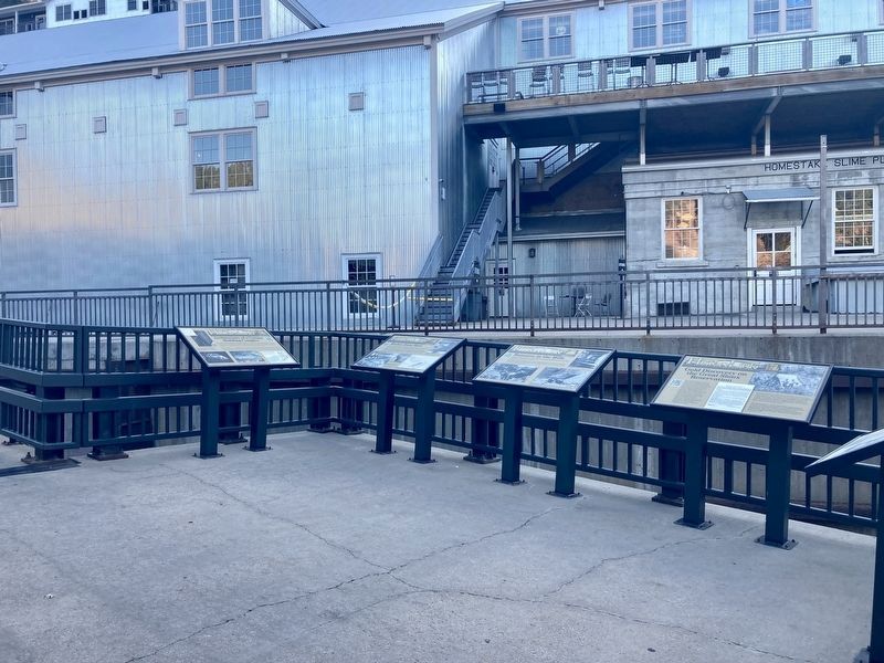
Other nearby markers. At least 8 other markers are within walking distance of this marker. Gold Discovery in the Great Sioux Reservation (here, next to this marker); Riches from Mud (here, next to this marker); Architecture of a Unique Building Complex (here, next to this marker); President Taft Comes to Deadwood (within shouting distance of this marker); Job Corps Project (about 300 feet away, measured in a direct line); Civic Stability (about 300 feet away); Lawrence County Jails & Capital Punishment (about 400 feet away); Black Hills Railroads (about 400 feet away). Touch for a list and map of all markers in Deadwood.
Also see . . . Deadwood Historical Photos 1800s. (Submitted on November 19, 2011, by Barry Swackhamer of Brentwood, California.)
Additional keywords. mining
Credits. This page was last revised on October 8, 2021. It was originally submitted on November 19, 2011, by Barry Swackhamer of Brentwood, California. This page has been viewed 720 times since then and 18 times this year. Last updated on October 6, 2021, by Connor Olson of Kewaskum, Wisconsin. Photos: 1, 2. submitted on October 6, 2021, by Connor Olson of Kewaskum, Wisconsin. 3, 4. submitted on November 19, 2011, by Barry Swackhamer of Brentwood, California. • Mark Hilton was the editor who published this page.


