West Columbia in Brazoria County, Texas — The American South (West South Central)
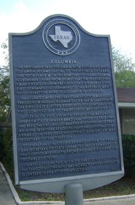
Columbia
Inaugurated were President Sam Houston and Vice-President Mirabeau B. Lamar. Under their leadership the first duly elected congress convened and the first constitution of the Republic was ratified.
Citizens of this vicinity served the Republic. Henry Smith of nearby Brazoria prior to this time had been the first Anglo-American Governor of Texas, in the 1835-1836 revolutionary provisional government. In President Houston's cabinet, he was Secretary of the Treasury.
Stephen F. Austin, colonizer and Father of Texas, was Secretary of State; under the heavy demands of that office, his health broke and he died here on December 27, 1836.
In April, 1837, at the wish of President Houston, the seat of government was moved to more adequate quarters in the City of Houston.
Erected 1965 by State Historical Survey Committee. (Marker Number 9547.)
Topics. This historical marker is listed in this topic list: War, Texas Independence . A significant historical month for this entry is April 1837.
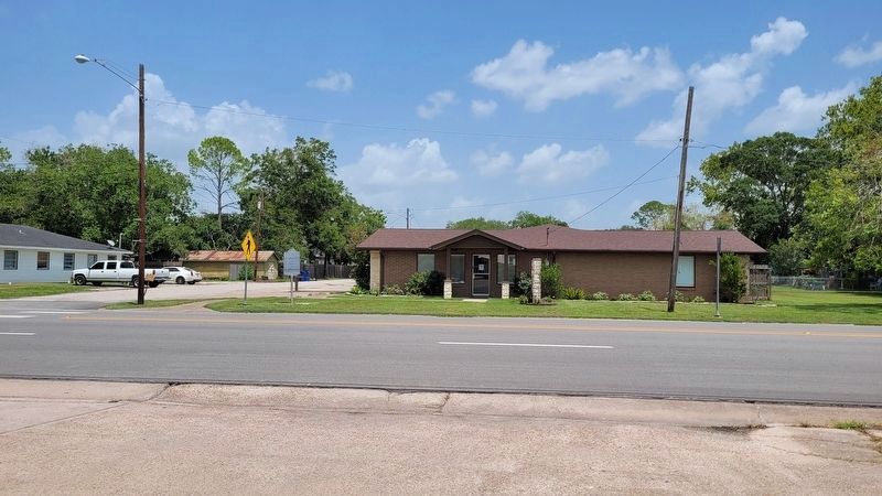
Location. 29° 8.536′ N, 95° 38.914′ W. Marker is in West Columbia, Texas, in Brazoria County. Marker is at the intersection of South 17th Street (State Highway 35) and East Bernard Street, on the right when traveling north on South 17th Street. Touch for map. Marker is at or near this postal address: 301 S 17th St, West Columbia TX 77486, United States of America. Touch for directions.
Other nearby markers. At least 8 other markers are within walking distance of this marker. Columbia United Methodist Church (about 500 feet away, measured in a direct line); Old Columbia Cemetery (about 600 feet away); Samuel Tubbs Angier, M.D. (about 600 feet away); George Rounds (about 700 feet away); Mary Eveline McKenzie Bell (about 700 feet away); Thaddus Constantine Bell (about 700 feet away); Josiah H. Bell (about 800 feet away); John Adriance (about 800 feet away). Touch for a list and map of all markers in West Columbia.
Also see . . . Historical Sites - Birthplace of a Republic. West Columbia, Texas (Submitted on November 28, 2011, by Bernard Fisher of Richmond, Virginia.)
Credits. This page was last revised on July 17, 2022. It was originally submitted on November 20, 2011, by Debbie A. Sutherland of West Columbia, Texas. This page has been viewed 814 times since then and 22 times this year. Photos: 1. submitted on November 20, 2011, by Debbie A. Sutherland of West Columbia, Texas. 2. submitted on July 17, 2022, by James Hulse of Medina, Texas. • Bernard Fisher was the editor who published this page.

