Near McLean in Fairfax County, Virginia — The American South (Mid-Atlantic)
River of Change
The Potomac River at Great Falls
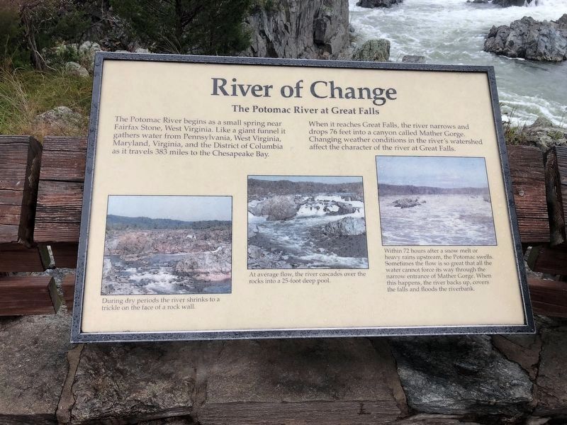
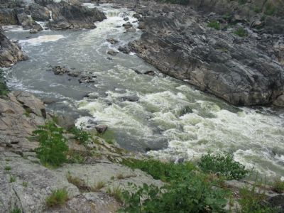
When it reaches Great Falls, the river narrows and drops 76 feet into a canyon called Mather Gorge. Changing weather conditions in the river's watershed affect the character of the river at Great Falls.
Topics. This historical marker is listed in these topic lists: Environment • Natural Resources.
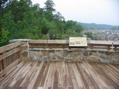
Location. 38° 59.753′ N, 77° 15.2′ W. Marker is near McLean, Virginia, in Fairfax County. Marker can be reached from the intersection of Old Dominion Drive and Georgetown Pike (Virginia Route 193). Located along the Great Falls National Park main trail, at an overlook of the falls. Touch for map. Marker is in this post office area: Great Falls VA 22066, United States of America. Touch for directions.
Other nearby markers. At least 8 other markers are within walking distance of this marker. People and the Potomac (here, next to this marker); A Globally Rare Environment (here, next to this marker); Patowmack Canal (about 300 feet away, measured in a direct line); a different marker also named The Patowmack Canal (about 400 feet away); Floods at Great Falls (about 400 feet away); Olmsted Island (about 500 feet away in Maryland); a different marker also named The Patowmack Canal (about 700 feet away); Matildaville (approx. ¼ mile away). Touch for a list and map of all markers in McLean.
More about this marker. Three photos detail the changing states of the river. The first on the left shows "During dry periods the river shrinks to a trickle on the face of a rock wall." In the center, "At average flow, the river cascades over the rock into a 25-foot deep pool." And on the right, "Within 72 hours after a snow melt or heavy rains upstream, the Potomac swells. Sometimes the flow is so great that all the water cannot force its way through the narrow entrance of Mather Gorge. When this happens, the river backs up, covers the falls and floods the riverbank."
Also see . . . Great Falls Park. National Park Service site detailing the falls and the park. (Submitted on January 26, 2008, by Craig Swain of Leesburg, Virginia.)
Additional commentary.
1. Water levels
It should be noted that the relatively low water levels are due primarily to the use of the Potomac as the drinking water supply for Washington, DC - much of the water is diverted before it reaches the Great Falls.
— Submitted March 17, 2008, by Christopher Busta-Peck of Shaker Heights, Ohio.
Credits. This page was last revised on July 7, 2021. It was originally submitted on January 26, 2008, by Craig Swain of Leesburg, Virginia. This page has been viewed 1,732 times since then and 46 times this year. Photos: 1. submitted on October 20, 2018, by Devry Becker Jones of Washington, District of Columbia. 2, 3, 4. submitted on January 26, 2008, by Craig Swain of Leesburg, Virginia.


