Potomac in Montgomery County, Maryland — The American Northeast (Mid-Atlantic)
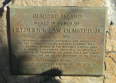
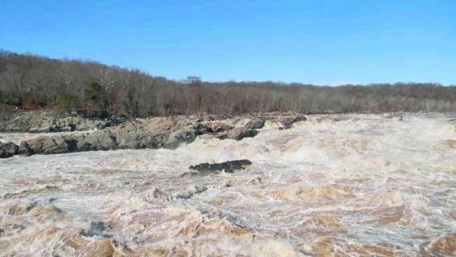
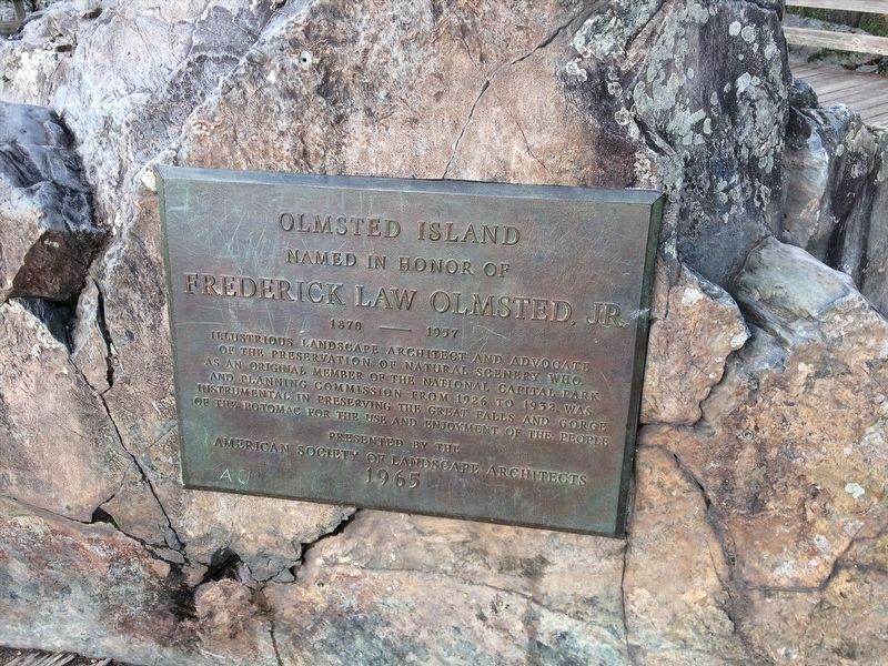
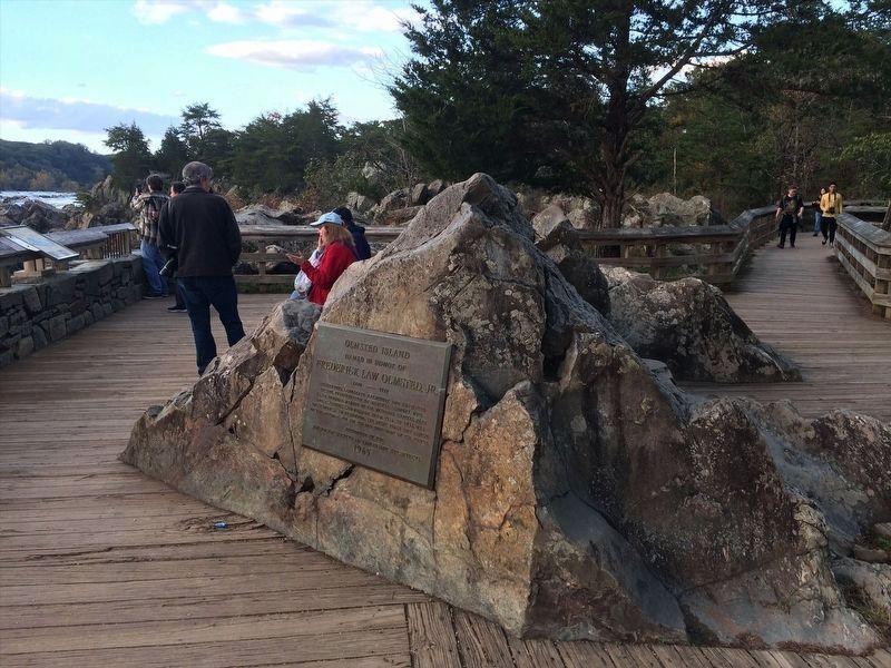
Olmsted Island
— [Chesapeake & Ohio Canal National Historical Park] —
Named in honor of
Frederick Law Olmsted, Jr.
1870 - 1957
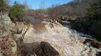
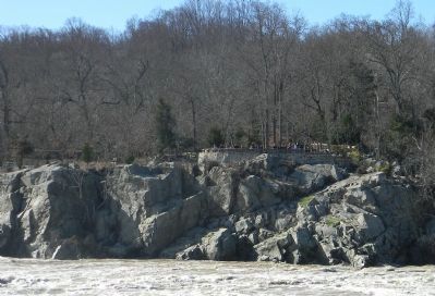
Illustrious landscape architect and advocate of the preservation of natural scenery who, as an original member of the National Capital Park and Planning Commission from 1926 to 1932, was instrumental in preserving the Great Falls and Gorge of the Potomac for the use and enjoyment of the people.
Presented by the American Society of Landscape Architects
1965
Erected 1965 by American Society of Landscape Architects.
Topics. This historical marker is listed in these topic lists: Natural Features • Notable Places • Waterways & Vessels. A significant historical year for this entry is 1870.
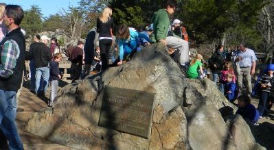
Location. 38° 59.802′ N, 77° 15.119′ W. Marker is in Potomac, Maryland, in Montgomery County. Marker is on the Olmstead Island Trail west of the C&O Canal Towpath. Marker is in the C&O National Historical Park, west of Lock 17 at Canal Mile 14, and approximately 0.3 miles southwest of the National Park Service's Great Falls Tavern Visitor Center. The Visitor Center is accessible west of Potomac, MD., via Falls Rd.; and northwest of Washington, D.C., via MacArthur Blvd. Touch for map. Marker is in this post office area: Potomac MD 20854, United States of America. Touch for directions.
Other nearby markers. At least 8 other markers are within walking distance of this marker. People and the Potomac (about 500 feet away, measured in a direct line in Virginia); River of Change (about 500 feet away in Virginia); A Globally Rare Environment (about 500 feet away in Virginia); Patowmack Canal (about 600 feet away in Virginia); a different marker also named The Patowmack Canal (about 700 feet away in Virginia); Floods at Great Falls (approx. 0.2 miles away in Virginia); a different marker also named The Patowmack Canal (approx. 0.2 miles away in Virginia); Fighting Floods (approx. 0.2 miles away).
Also see . . . Frederick Law Olmstead, Jr. National Park Service website entry (Submitted on November 25, 2011, by Richard E. Miller of Oxon Hill, Maryland.)
Additional keywords. "Niagara of the South"; Great Falls Overlook; National Park Service; Chesapeake and Ohio Canal.
Credits. This page was last revised on January 11, 2024. It was originally submitted on November 25, 2011, by Richard E. Miller of Oxon Hill, Maryland. This page has been viewed 814 times since then and 29 times this year. Photos: 1, 2, 3, 4, 5. submitted on November 25, 2011, by Richard E. Miller of Oxon Hill, Maryland. 6, 7. submitted on December 28, 2023, by Adam Margolis of Mission Viejo, California. • Bill Pfingsten was the editor who published this page.
