Man in Logan County, West Virginia — The American South (Appalachia)
Buffalo Creek Disaster
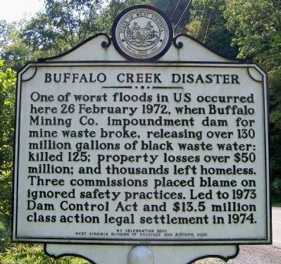
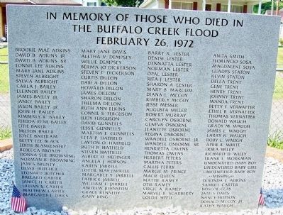
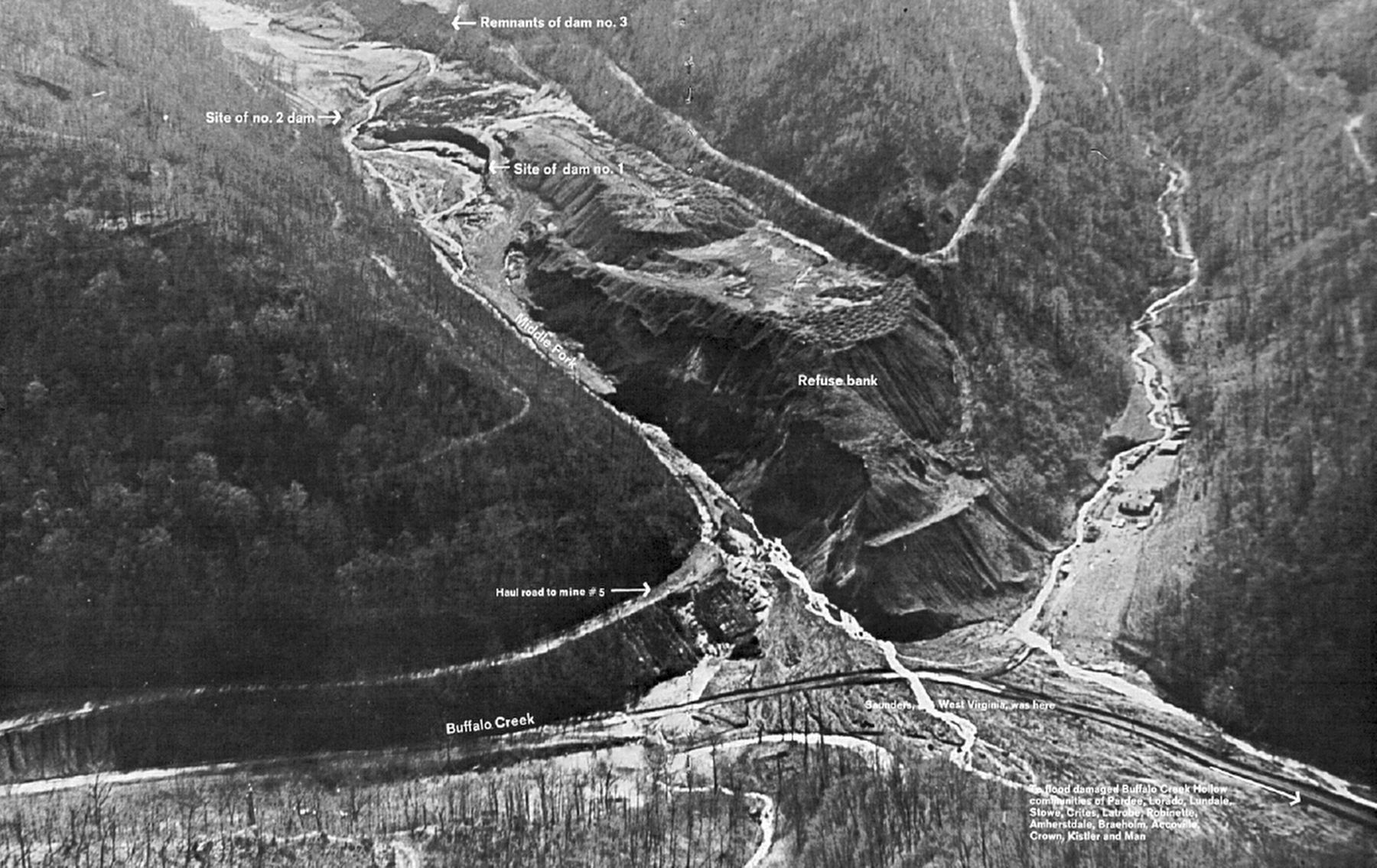
One of worst floods in US occurred here 26 February 1972, when Buffalo Mining Co. impoundment dam for mine waste broke, releasing over 130 million gallons of black waste water: killed 125; property losses over $50 million; and thousands left homeless. Three commissions placed blame on ignored safety practices. Led to 1973 Dam Control Act and $13.5 million class action legal settlement in 1974.
Erected 2005 by WV Celebration 2000, West Virginia Division of Archives and History.
Topics and series. This historical marker is listed in this topic list: Disasters. In addition, it is included in the West Virginia Archives and History series list. A significant historical date for this entry is February 26, 1972.
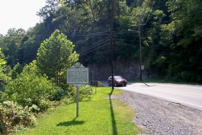
Location. 37° 45.051′ N, 81° 52.043′ W. Marker is in Man, West Virginia, in Logan County. Marker is on Main Street (County Route 16) just north of Ball Park Street, on the right when traveling north. Touch for map. Marker is in this post office area: Man WV 25635, United States of America. Touch for directions.
Other nearby markers. At least 8 other markers are within 13 miles of this marker, measured as the crow flies. Hatfield Cemetery (approx. 7˝ miles away); Battle of Blair Mt. (approx. 8.8 miles away); Logan (approx. 9.4 miles away); Horsepen Mountain (approx. 9.9 miles away); Battle of Beech Creek (approx. 11 miles away); Mamie Thurman (approx. 11˝ miles away); The Courthouse Bell (approx. 12˝ miles away); Logan County Coal Miners Memorial (approx. 12˝ miles away).
Also see . . . Buffalo Creek flood. Wikipedia entry:
“Dam #3, constructed of coarse mining refuse dumped into the Middle Fork of Buffalo Creek starting in 1968, failed first, following heavy rains. The water from Dam #3 then overwhelmed Dams #2 and #1. Dam #3 had been built on top of coal slurry sediment that had collected behind dams # 1 and #2, instead of on solid bedrock. Dam #3 was approximately 260 feet above the town of Saunders when it failed.” (Submitted on February 25, 2017.)
Credits. This page was last revised on January 14, 2022. It was originally submitted on November 27, 2011, by Forest McDermott of Masontown, Pennsylvania. This page has been viewed 2,011 times since then and 99 times this year. It was the Marker of the Week February 26, 2017. Photos: 1, 2, 3, 4, 5. submitted on November 27, 2011, by Forest McDermott of Masontown, Pennsylvania. 6. submitted on February 25, 2017. • Bill Pfingsten was the editor who published this page.
