Sandy Hook in Washington County, Maryland — The American Northeast (Mid-Atlantic)
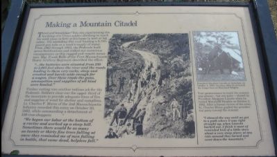
Making a Mountain Citadel
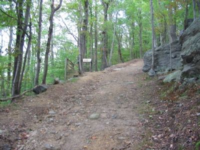
"...the batteries were situated from 250 to 2,065 feet above the river and the roads leading to them very rocky, steep and crooked and barely wide enough for a wagon. Over these roads the guns, ammunition and supplies of all kind were hauled."
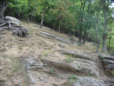
Timber cutting was another tedious job for the Federals. Soldiers clear-cut the upper third of the mountain to provide adequate lines of fire and supplies of wood for shelter and campfires. Lt. Charles F. Morse of the 2nd Massachusetts Infantry recorded this entry on October 20, 1862, while commanding a detachment of 100 tree-choppers:
"We began our labor at the bottom of a ravine and worked up a steep hill. Sometimes there would be as many as twenty or thirty fine trees falling at once; they reminded me of men falling in battle, that same dead, helpless fall."
Your perseverance to reach the summit was almost - but not quite - shared by President Abraham Lincoln when he visited Maryland Heights on October 2, 1862. After a formal review of the army, Lt. Charles Morse guided the presidential party toward the summit:
"I showed the way until we got to a path where it was right straight up, when Lincoln backed out. I think it must have reminded him of a little story about a very steep place; at any rate around they turned and went down the mountain."
Topics and series. This historical marker is listed in this topic list: War, US Civil. In addition, it is included in the Former U.S. Presidents: #16 Abraham Lincoln series list. A significant historical month for this entry is October 1827.
Location. 39° 20.031′ N, 77° 43.505′ W. Marker is in Sandy Hook, Maryland, in Washington County. Marker can be reached from Sandy Hook Road. Located on the Stone Fort Trail loop of Maryland Heights in Harpers Ferry National Historical Park. Touch for map. Marker is in this post office area: Knoxville MD 21758, United States of America. Touch for directions.
Other nearby markers. At least 8 other markers are within walking distance of this marker. Charcoal Making on Maryland Heights (about 400 feet away, measured in a direct line); Hiking Maryland Heights (approx. 0.2 miles away); 30-Pounder Battery (approx. 0.2 miles away); Naval Battery (approx. ¼ mile away); Civil War Campgrounds (approx. 0.3 miles away); 100 - Pounder Battery - Heaviest and Highest
(approx. 0.3 miles away); Maryland Heights - Mountain Fortress of Harpers Ferry (approx. 0.4 miles away); Harpers Ferry - Changes through Time (approx. 0.6 miles away). Touch for a list and map of all markers in Sandy Hook.
More about this marker. In the center of the marker is a drawing depicting soldiers man-handling an artillery piece up the mountain road. On the upper right is a wartime photograph of "President Lincoln at Antietam, on October 4, 1862, two days after the reviewed the troops here on Maryland Heights."
Regarding Making a Mountain Citadel. This marker is one of a set along the National Park Service's trail to the top of Maryland Heights. You can see the other markers in this set through the Maryland Heights Virtual Tour by Markers link below.

Photographed By Craig Swain, September 22, 2007
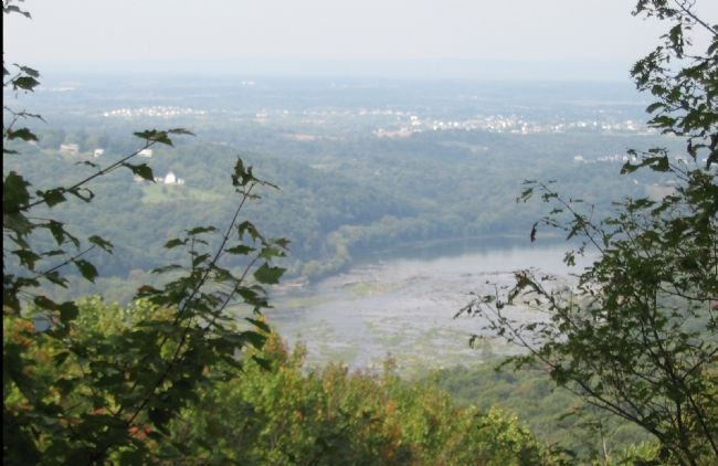
4. Dam 3 on the Potomac Seen from the Marker Overlook
Not only does this give a breath taking (provided you have any left after the climb) view of the West Virginia and Maryland countryside, it also offers some perspective of the commanding line of sight afforded the massive batteries atop Maryland Heights. During the war this side of the mountain top was also clear cut to allow the large guns to fire in almost a 360 degree arch.
Credits. This page was last revised on May 22, 2021. It was originally submitted on January 27, 2008, by Craig Swain of Leesburg, Virginia. This page has been viewed 1,285 times since then and 14 times this year. Last updated on May 21, 2021, by Bradley Owen of Morgantown, West Virginia. Photos: 1, 2, 3, 4. submitted on January 27, 2008, by Craig Swain of Leesburg, Virginia. • J. Makali Bruton was the editor who published this page.


