Near Davis City in Decatur County, Iowa — The American Midwest (Upper Plains)
The Mormon Trail / Utopian Experiments in Southern Iowa
Inscription.
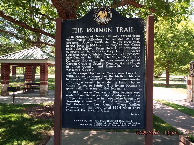
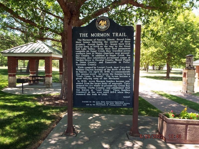
The Mormon Trail
The Mormons of Nauvoo, Illinois, forced from their homes following the murder of their prophet, Joseph Smith, Jr., began their trek across Iowa in 1846 on the way to the Great Salt Lake Valley. From their first permanent campsite on Sugar Creek they travelled across southern Iowa to Winter Quarters, near present-day Omaha. In addition to Sugar Creek, the Mormons also established permanent camps at Garden Grove in Decatur County, Mount Pisgah in Union County, and Kanesville in Pottawattamie County.
While camped by Locust Creek, near Corydon, William Clayton learned of the birth of his son in Nauvoo. On April 15, 1846, to commemorate this joyous event, he wrote the famous hymn "Come, Come, Ye Saints." The hymn became a great rallying song of the Mormons.
In 1846, seven Mormon families became separated from the larger body of migrants. They stopped for the winter in present-day Green Bay Township, Clarke County, and established what was known as "Lost Camp". These families remained in the area until 1854 when they resumed the trek to Utah.
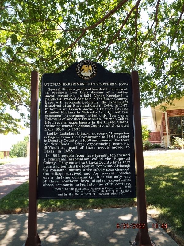
Utopian Experiments in Southern Iowa
Several Utopian groups attempted to implement in southern Iowa their dreams of a better social structure. In 1839 Abner Kneeland, a pantheist, started Salubria in Van Buren County. Beset with economic problems, the experiment dissolved after Kneeland died in 1844. In 1843, followers of French socialist Charles Fourier founded Phalanx in Mahaska County, but this communal experiment lasted only two years. Followers of another Frenchman, Etienne Cabet, tried several experiments in the United States, including Icaria in Adams County, which existed from 1860 to 1895.
Led by Ladislaus Ujhazy, a group of Hungarian refugees from the Revolutions of 1848 settled in Decatur County in 1850 and founded the town of New Buda. After experiencing economic difficulties, most of these people moved to Texas in 1853.
In 1851, people from near Farmington formed a communal association called the Hopewell Colony. They moved to Clarke County later that year, and founded the town of Hopeville. Although the communal nature of the colony soon changed, the village survived and for several decades was a thriving community. It is the only one of these southern Iowa utopian experiments whose remnants lasted into the 20th century.
Erected 1976 by Iowa State Historical Department Division of the State Historical Society and the Department of Transportation. (Marker Number 16.)
Topics and series. This historical marker is listed in these topic lists: Churches & Religion • Settlements & Settlers
. In addition, it is included in the Iowa - State Historical Society of Iowa, and the Mormon Pioneer Trail series lists.
Location. 40° 39.353′ N, 93° 51.24′ W. Marker is near Davis City, Iowa, in Decatur County. Marker can be reached from Interstate 35 north of County Highway J52, on the right when traveling north. The marker is at the Lamoni Rest Area near Davis City, Iowa. Touch for map. Marker is in this post office area: Davis City IA 50065, United States of America. Touch for directions.
Other nearby markers. At least 7 other markers are within 9 miles of this marker, measured as the crow flies. Veterans Memorial (approx. 3.1 miles away); France Building (approx. 4.7 miles away); The Road to Zion (approx. 8 miles away); Founders Park (approx. 8.1 miles away); Replica of the Statue of Liberty (approx. 8.1 miles away); Decatur County Freedom Rock Veterans Memorial (approx. 8.1 miles away); Leon High School (approx. 8.2 miles away).
Credits. This page was last revised on December 3, 2023. It was originally submitted on November 29, 2011, by William J. Toman of Green Lake, Wisconsin. This page has been viewed 1,228 times since then and 80 times this year. Last updated on May 28, 2023, by Jeff Leichsenring of Garland, Texas. Photos: 1, 2, 3. submitted on July 31, 2022. • J. Makali Bruton was the editor who published this page.


