Mission Viejo in Orange County, California — The American West (Pacific Coastal)
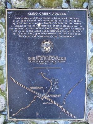
Aliso Creek Adobes
Erected 1996 by Orange County Board of Supervisors, Orange County Historical Commission, and Saddleback Area Historical Society. (Marker Number 44.)
Topics. This historical marker is listed in these topic lists: Hispanic Americans • Settlements & Settlers.
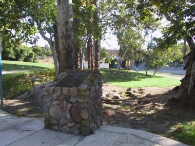
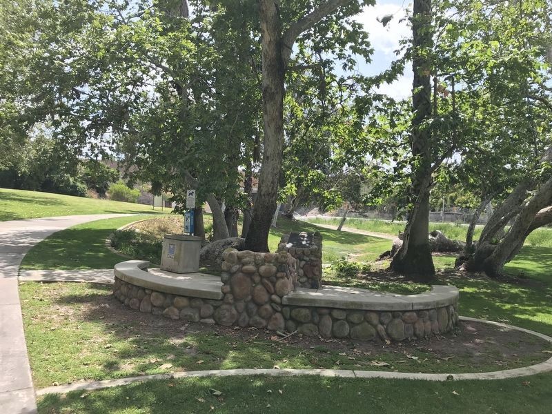
Location. 33° 36.462′ N, 117° 41.612′ W. Marker is in Mission Viejo, California, in Orange County. Marker can be reached from Charlinda Drive. Marker is located on the Aliso Creek Bikeway in Sycamore Park. Touch for map. Marker is in this post office area: Lake Forest CA 92630, United States of America. Touch for directions.
Other nearby markers. At least 8 other markers are within 2 miles of this marker, measured as the crow flies. Mormon Battalion Marker (here, next to this marker); Sycamore Park (about 700 feet away, measured in a direct line); Juan Avila Adobe (approx. 0.2 miles away); History (approx. 1.1 miles away); Whale Fossil (approx. 1.3 miles away); Fossil (approx. 1.3 miles away); La Paz Road & Chrisanta Drive (approx. 1.3 miles away); Charlotte and Louise Moulton (approx. 1.3 miles away). Touch for a list and map of all markers in Mission Viejo.

Photographed By Michael Kindig, June 22, 2008
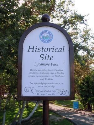
4. Historical Site - Sycamore Park
This site was part of Rancho Canada de Los Alisos, a land grant given to Don Jose Serrano by Mexican Governor Pio Pico on May 27, 1846.
Two historical plaques are located at the park's western edge.
City of Mission Viejo Heritage Committee.
Two historical plaques are located at the park's western edge.
City of Mission Viejo Heritage Committee.
Credits. This page was last revised on May 14, 2022. It was originally submitted on November 30, 2011. This page has been viewed 1,419 times since then and 53 times this year. Last updated on August 7, 2020, by Craig Baker of Sylmar, California. Photos: 1, 2. submitted on November 30, 2011, by Michael Kindig of Elk Grove, California. 3. submitted on May 10, 2022, by Adam Margolis of Mission Viejo, California. 4. submitted on November 30, 2011, by Michael Kindig of Elk Grove, California. • J. Makali Bruton was the editor who published this page.


