Sandy Hook in Washington County, Maryland — The American Northeast (Mid-Atlantic)
Exterior Fort
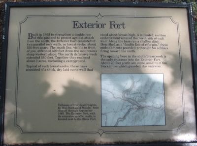
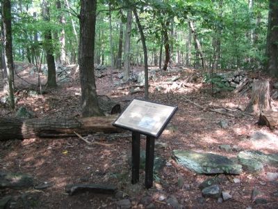
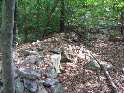
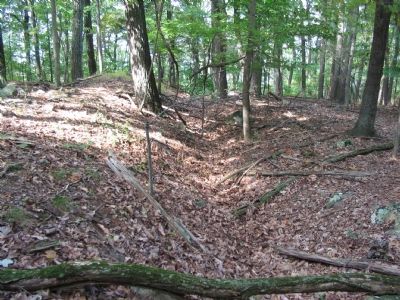
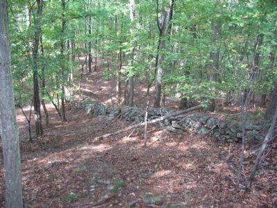
Built in 1863 to strengthen a double row of rifle-pits and to protect against attack from the north, the Exterior Fort consisted of two parallel rock walls, or breastworks, about 530 feet apart. The south line, visible in front of you, extended 520 feet down the mountain's steep western slope. The north defensive work extended 560 feet. Together they enclosed about 3 acres, including a campground.
Typical of such breastworks, these lines consisted of a thick, dry-laid stone wall that stood about breast high. A mounded, earthen embankment covered the north side of each wall. Along the base ran a shallow ditch. Described as a "double line of rifle-pits," these embankments provided protection for soldiers firing toward the north.
The opening here in the south breastwork is the only entrance into the Exterior Fort. About 20 feet south are stone remains of the blockhouse which guarded this entrance.
Topics. This historical marker is listed in these topic lists: Forts and Castles • War, US Civil. A significant historical year for this entry is 1863.
Location. 39° 20.488′ N, 77° 43.207′ W. Marker is in Sandy Hook, Maryland, in Washington County. Marker can be reached from Sandy Hook Road. Located on the Stone Fort Trail loop of Maryland Heights in Harpers Ferry National Historical Park. Touch for map. Marker is in this post office area: Knoxville MD 21758, United States of America. Touch for directions.
Other nearby markers. At least 8 other markers are within walking distance of this marker. Interior Fort (about 300 feet away, measured in a direct line); Stone Fort (about 500 feet away); Civil War Campgrounds (approx. ¼ mile away); 100 - Pounder Battery - Heaviest and Highest (approx. 0.4 miles away); Charcoal Making on Maryland Heights (approx. half a mile away); Making a Mountain Citadel (approx. 0.6 miles away); 30-Pounder Battery (approx. 0.7 miles away); Hiking Maryland Heights (approx. ¾ mile away). Touch for a list and map of all markers in Sandy Hook.
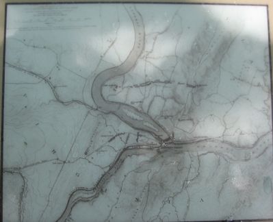
More about this marker. On the lower portion of the marker is a map of "Defenses of Maryland Heights, by Maj. Nathaniel Michler, from August through September 1863. The Exterior Fort, with its extensive parallel walls, is located next to the Stone Fort.
Regarding Exterior Fort. This marker is one of a set along the National Park Service's trail to the top of Maryland Heights.
Credits. This page was last revised on March 19, 2022. It was originally submitted on January 27, 2008, by Craig Swain of Leesburg, Virginia. This page has been viewed 1,644 times since then and 13 times this year. Photos: 1, 2, 3, 4, 5, 6. submitted on January 27, 2008, by Craig Swain of Leesburg, Virginia. 7. submitted on March 12, 2021, by Bradley Owen of Morgantown, West Virginia.
