Sandy Hook in Washington County, Maryland — The American Northeast (Mid-Atlantic)
Interior Fort
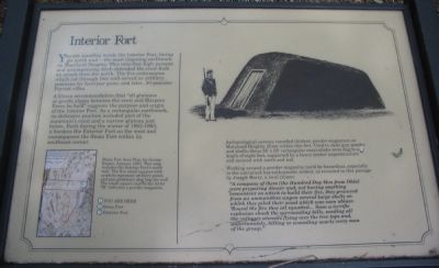
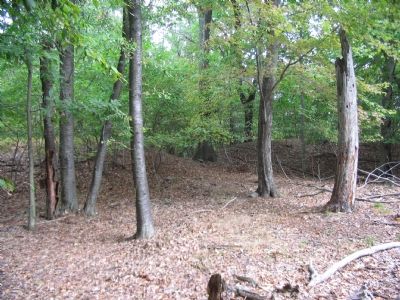
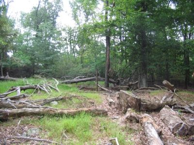
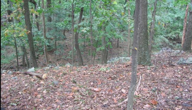
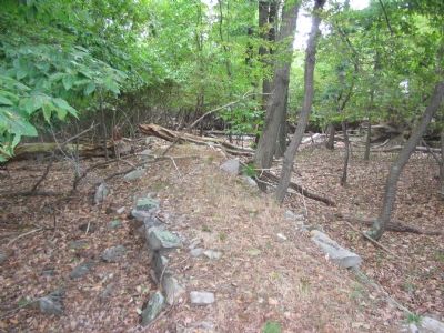
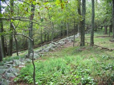
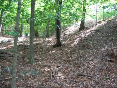
You are standing inside the Interior Fort, facing its north wall - the most imposing earthwork on Maryland Heights. This nine-foot-high parapet and accompanying ditch defended the crest from attack from the north. The five embrasures which cut through this wall served as artillery positions for howitzer guns, and later, 30-pounder Parrott Rifles.
A Union recommendation that "all plateaus or gentle slopes between the crest and Harpers Ferry be held" suggests the purpose and origin of the Interior Fort. As a rectangular earthwork, its defensive position included part of the mountain's crest and a narrow plateau just below. Built during the winter of 1862-1863, it borders the Exterior Fort on the west and encompasses the Stone Fort within its southeast corner.
Archaeological surveys recorded thirteen powder magazines on Maryland Heights, three within this fort. Used to store gun powder and shells, these 30'x20' rectangular excavations were dug to a depth of eight feet, supported by a heavy timber superstructure and covered with earth and sod.
Working around a powder magazine could be hazardous, especially to the untrained but enthusiastic soldier, as revealed in this passge by Joseph Barry, a local citizen:
"A company of them [the Hundred-Day Men from Ohio] were preparing dinner and, not having anything convenient on which to build their fire, they procured from an ammunition wagon several large shells on which they piled their wood which was soon ablaze. 'Round the fire they all squatted... Soon a terrific explosion shook the surrounding hills, sending all the culinary utensils flying over the tree tops and, unfortunately, killing or wounding nearly every man of the group."
Topics. This historical marker is listed in these topic lists: Forts and Castles • War, US Civil.
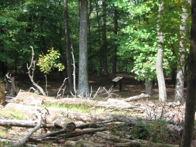
Location. 39° 20.528′ N, 77° 43.162′ W. Marker is in Sandy Hook, Maryland, in Washington County. Marker can be reached from Sandy Hook Road. Located on the Stone Fort Trail loop of Maryland Heights in Harpers Ferry National Historical Park. Touch for map. Marker is in this post office area: Knoxville MD 21758, United States of America. Touch for directions.
Other nearby markers. At least 8 other markers are within walking distance of this marker. Stone Fort (within shouting distance of this marker); Exterior Fort (about 300 feet away, measured in a direct line); Civil War Campgrounds (approx. 0.3 miles away); 100 - Pounder Battery - Heaviest and Highest (approx. half a mile away); Charcoal Making on Maryland Heights (approx. 0.6 miles away); Making a Mountain Citadel (approx. 0.6 miles away); 30-Pounder Battery (approx. ¾ mile away); Hiking Maryland Heights (approx. 0.8 miles away). Touch for a list and map of all markers in Sandy Hook.
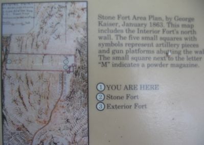
More about this marker. On the upper right is a drawing depicting a typical powder magazine. On the lower left is the "Stone Fort Area Plan, by George Kaiser, January 1863. This map includes the Interior Fort's north wall. The five small squares with symbols represent artillery pieces and gun platforms abutting the wall. The small square next to the letter 'M' indicates a powder magazine."
Regarding Interior Fort. This marker is one of a set along the National Park Service's trail to the top of Maryland Heights.
Credits. This page was last revised on March 19, 2022. It was originally submitted on January 27, 2008, by Craig Swain of Leesburg, Virginia. This page has been viewed 1,493 times since then and 11 times this year. Photos: 1, 2, 3, 4, 5, 6, 7, 8, 9. submitted on January 27, 2008, by Craig Swain of Leesburg, Virginia.
