Marquette in Madison in Dane County, Wisconsin — The American Midwest (Great Lakes)
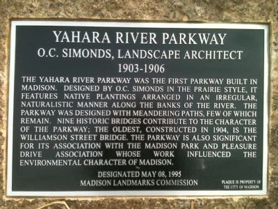
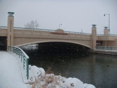
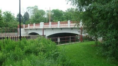
Yahara River Parkway
O.C. Simonds, Landscape Architect
— 1903-1906 —
Designated May 08, 1995
Erected 2011 by the Madison Landmarks Commission. (Marker Number 126.)
Topics and series. This historical marker is listed in these topic lists: Charity & Public Work • Entertainment. In addition, it is included in the Wisconsin, Madison Landmarks Commission series list. A significant historical date for this entry is May 8, 1794.
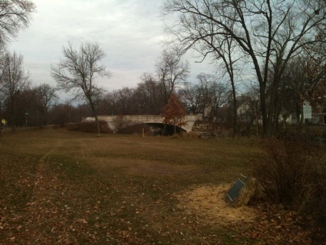
Location. 43° 5.126′ N, 89° 21.284′ W. Marker is in Madison, Wisconsin, in Dane County. It is in Marquette. Marker is at the intersection of South Thornton Avenue and Morrison Street, on the left when traveling south on South Thornton Avenue. Touch for map. Marker is in this post office area: Madison WI 53703, United States of America. Touch for directions.
Other nearby markers. At least 8 other markers are within walking distance of this marker. Anton F. and Mary Kubicek Duplex (about 400 feet away, measured in a direct line); George Soelch Investment House (approx. 0.2 miles away); a different marker also named Yahara River Parkway (approx. ¼ mile away); John A. Johnson made Madison's Factory District Flourish (approx. 0.4 miles away); Sixth Ward Public Library (approx. 0.4 miles away); Hoffman - Kennedy Dairy Horse Barn (approx. 0.4 miles away); Frank J. Hess and Sons Cooperage / Frank J. Hess, Cooper (approx. half a mile away); Gay Liberation Sculpture (approx. half a mile away). Touch for a list and map of all markers in Madison.
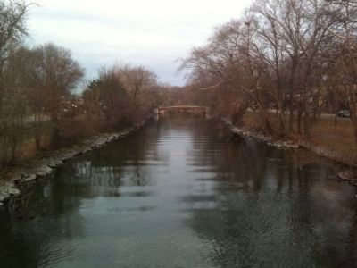
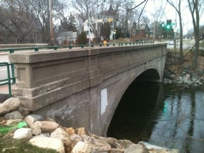
Regarding Yahara River Parkway. According to the Madison Landmarks Commission, "The Yahara River Parkway was designed by noted landscape architect O. C. Simonds of Chicago. At the time it was at the eastern edge of the City. When European-Americans first settled here, the Yahara River meandered through marshland between Lakes Mendota and Monona. It had been canalized for use by the mills at the northern end of the river, and was used as an informal trash dump for decades.
"The parkway was developed by the Madison Parks and Pleasure Drive Association, a group of private citizens who worked tirelessly at the turn of the last century to provide parks and scenic drives for the
benefit of the citizens of Madison. The Yahara River Parkway was the first park funded by donations from Madisonians rather than large gifts from a few donors. The design of the parkway is an excellent and intact example of the Prairie School of landscape architecture, a design theory that honored the native landscapes of the Midwest and paralleled the Prairie School of architecture."
Credits. This page was last revised on February 16, 2023. It was originally submitted on December 12, 2011, by William J. Toman of Green Lake, Wisconsin. This page has been viewed 788 times since then and 23 times this year. Photos: 1, 2, 3. submitted on December 12, 2011, by William J. Toman of Green Lake, Wisconsin. 4. submitted on December 13, 2011, by William J. Toman of Green Lake, Wisconsin. 5. submitted on December 4, 2010, by William J. Toman of Green Lake, Wisconsin. 6. submitted on June 12, 2010, by William J. Toman of Green Lake, Wisconsin.
