Willistown Township near West Chester in Chester County, Pennsylvania — The American Northeast (Mid-Atlantic)
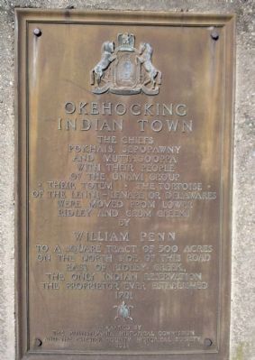
Okehocking Indian Town
The Chiefs
Pokhais, Sepopawny, and Muttagooppa
With their people of the Unami Group
* Their Totem * The Tortoise *
Of the Lenni – Lenape or Delawares
were moved from lower Ridley and Crum Creeks
by
WILLIAM PENN
To a tract of 500 acres on the North side of this road
East of Ridley Creek, the only
Indian Reservation
The proprietor ever established
1701
Erected 1924 by The Pennsylvania Historical Commission and The Chester County Historical Society.
Topics and series. This historical marker is listed in these topic lists: Colonial Era • Native Americans • Notable Places • Settlements & Settlers. In addition, it is included in the Pennsylvania Historical and Museum Commission series list. A significant historical year for this entry is 1701.
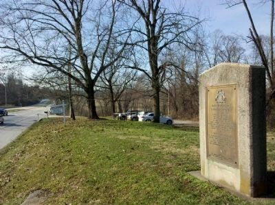
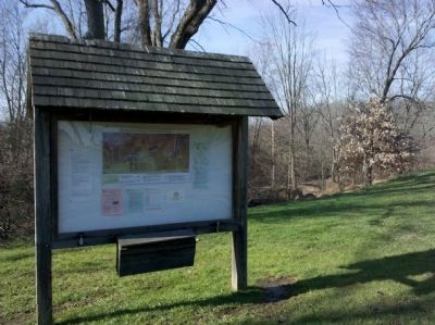
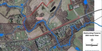
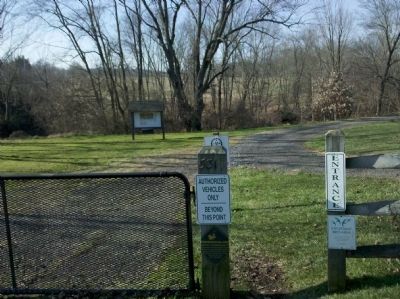
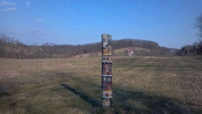
Location. 39° 58.043′ N, 75° 28.882′ W. Marker is near West Chester, Pennsylvania, in Chester County. It is in Willistown Township. Marker is on West Chester Pike, on the left when traveling east. Touch for map. Marker is at or near this postal address: 5316 West Chester Pike, West Chester PA 19380, United States of America. Touch for directions.
Other nearby markers. At least 8 other markers are within 3 miles of this marker, measured as the crow flies. Okehocking Land Grant (approx. 1˝ miles away); Parks are for People (approx. 2 miles away); Historic Sugartown (approx. 2.7 miles away); Bartram Bridge (approx. 2.8 miles away); Rocky Hill (approx. 2.8 miles away); Squire Cheyney: Progressive Farmer (approx. 2.9 miles away); Historic Agricultural Landscape: Preserved for the Public Good (approx. 3 miles away); Squire Cheyney: Public Servant (approx. 3 miles away). Touch for a list and map of all markers in West Chester.
Credits. This page was last revised on February 7, 2023. It was originally submitted on December 14, 2011. This page has been viewed 1,367 times since then and 63 times this year. Last updated on November 5, 2020, by Carl Gordon Moore Jr. of North East, Maryland. Photos: 1, 2, 3, 4, 5, 6. submitted on December 14, 2011, by Keith S Smith of West Chester, Pennsylvania. 7. submitted on January 20, 2012, by Keith S Smith of West Chester, Pennsylvania. • J. Makali Bruton was the editor who published this page.
