Willistown Township near Newtown Square in Chester County, Pennsylvania — The American Northeast (Mid-Atlantic)
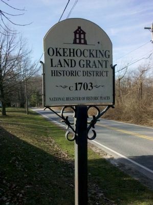
Okehocking Land Grant
— National Register of Historic Places —
Land Grant
Historic District
~ c. 1703 ~
National Register of Historic Places
Topics. This historical marker is listed in these topic lists: Colonial Era • Notable Places • Settlements & Settlers. A significant historical year for this entry is 1703.
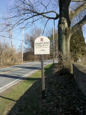
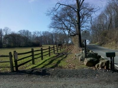
Location. 39° 59.377′ N, 75° 28.775′ W. Marker is near Newtown Square, Pennsylvania, in Chester County. It is in Willistown Township. Marker is at the intersection of Goshen Road and Plumsock Road, on the right when traveling east on Goshen Road. This marker is one of several around the Land Grants perimeter; this one is located next to Willistown Friends Meeting House & Cemetery. Touch for map. Marker is at or near this postal address: 7040 Goshen Rd, Newtown Square PA 19073, United States of America. Touch for directions.
Other nearby markers. At least 8 other markers are within 3 miles of this marker, measured as the crow flies. Okehocking Indian Town (approx. 1˝ miles away); Historic Sugartown (approx. 1.7 miles away); Bartram Bridge (approx. 2.3 miles away); William Lewis House (approx. 2.6 miles away); William Lewis Barn Complex (approx. 2.7 miles away); Site of Paoli Massacre (approx. 2.9 miles away); Historic Waynesborough (approx. 3 miles away); High Larches (approx. 3 miles away). Touch for a list and map of all markers in Newtown Square.
Related marker. Click here for another marker that is related to this marker.
Additional commentary.
1.
A copy of this marker is along PA 3 at Rita Reves Park, 1040 Garrett Mill Road, Willistown Township, Newtown Square 19073, at eastern end of PA 926.
— Submitted November 5, 2020, by Carl Gordon Moore Jr. of North East, Maryland.
Credits. This page was last revised on February 7, 2023. It was originally submitted on December 14, 2011, by Keith S Smith of West Chester, Pennsylvania. This page has been viewed 637 times since then and 20 times this year. Photos: 1, 2, 3. submitted on December 14, 2011, by Keith S Smith of West Chester, Pennsylvania. • Bill Pfingsten was the editor who published this page.
Editor’s want-list for this marker. The other copy of this marker on its own page. It should be at 1040 Garrett Mill Road. • Can you help?


