Near Lompoc in Santa Barbara County, California — The American West (Pacific Coastal)
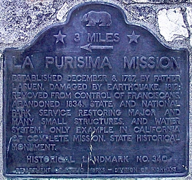
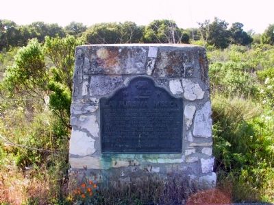
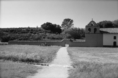
La Purisima Mission
← 3 Miles
Erected by Department of Public Works - Division of Highways. (Marker Number 340.)
Topics and series. This historical marker is listed in these topic lists: Churches & Religion • Settlements & Settlers. In addition, it is included in the California Historical Landmarks series list. A significant historical date for this entry is December 8, 1796.
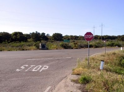
Location. 34° 42.676′ N, 120° 26.155′ W. Marker is near Lompoc, California, in Santa Barbara County. Marker is at the intersection of Harris Grade Road and Rucker Road, on the right when traveling south on Harris Grade Road. Touch for map. Marker is in this post office area: Lompoc CA 93436, United States of America. Touch for directions.
Other nearby markers. At least 8 other markers are within 6 miles of this marker, measured as the crow flies. First Successful Cement Job (approx. 1.6 miles away); La Purisima Mission State Historic Park (approx. 2.9 miles away); a different marker also named La Purisima Mission (approx. 3.7 miles away); Lompoc Carnegie Library (approx. 5.3 miles away); Italian Stone Pines (approx. 5.3 miles away); Lompoc's Mission Vieja (approx. 5.3 miles away); Lompoc World War I Monument (approx. 5.3 miles away); Tragedy of Point Pedernales / Honda Point (approx. 5.6 miles away). Touch for a list and map of all markers in Lompoc.
Credits. This page was last revised on November 27, 2023. It was originally submitted on December 15, 2011, by Michael Kindig of Elk Grove, California. This page has been viewed 870 times since then and 30 times this year. Last updated on May 20, 2020, by Craig Baker of Sylmar, California. Photos: 1. submitted on May 20, 2020, by Craig Baker of Sylmar, California. 2, 3, 4. submitted on December 15, 2011, by Michael Kindig of Elk Grove, California. • Syd Whittle was the editor who published this page.


