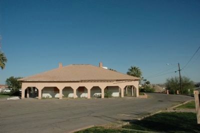
Winterhaven in Imperial County, California — The American West (Pacific Coastal)
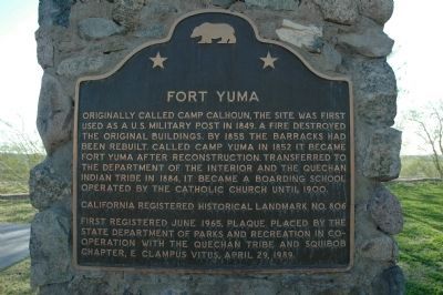
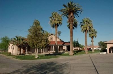
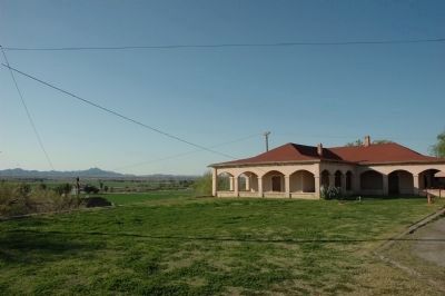
Fort Yuma
Erected 1989 by State Department of Parks and Recreation in cooperation with the Quechan Tribe and John P. Squibob Chapter No. 1853, E Clampus Vitus. (Marker Number 806.)
Topics and series. This historical marker is listed in these topic lists: Forts and Castles • Native Americans • Settlements & Settlers. In addition, it is included in the California Historical Landmarks, and the E Clampus Vitus series lists. A significant historical year for this entry is 1849.
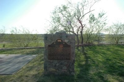
Location. 32° 43.945′ N, 114° 37.059′ W. Marker is in Winterhaven, California, in Imperial County. Marker is on Quechan Drive, on the right when traveling south. Marker is located west of San Pasqual School. Touch for map. Marker is in this post office area: Winterhaven CA 92283, United States of America. Touch for directions.
Other nearby markers. At least 8 other markers are within walking distance of this marker. Fray Francisco Hermenegildo Garcés (approx. 0.2 miles away); Site of Mission La Purisima Concepcion (approx. 0.2 miles away); Site of Old Ferry Landing (approx. 0.3 miles away in Arizona); "Ocean to Ocean" Highway Bridge (approx. 0.3 miles away in Arizona); "Indian Hill" (approx. 0.3 miles away in Arizona); The All-important Colorado River Crossing (approx. 0.3 miles away in Arizona); Juan Bautista de Anza National Historic Trail (approx. 0.3 miles away in Arizona); View of the Prison from Across the River (approx. 0.3 miles away in Arizona). Touch for a list and map of all markers in Winterhaven.
Regarding Fort Yuma. This is California Historical Landmark No. 806.
Credits. This page was last revised on May 2, 2020. It was originally submitted on December 17, 2011, by Michael Kindig of Elk Grove, California. This page has been viewed 1,009 times since then and 33 times this year. Last updated on May 1, 2020, by Craig Baker of Sylmar, California. Photos: 1, 2, 3, 4, 5. submitted on December 17, 2011, by Michael Kindig of Elk Grove, California. • Syd Whittle was the editor who published this page.
