Golden in Jefferson County, Colorado — The American Mountains (Southwest)
700 Tenth Street
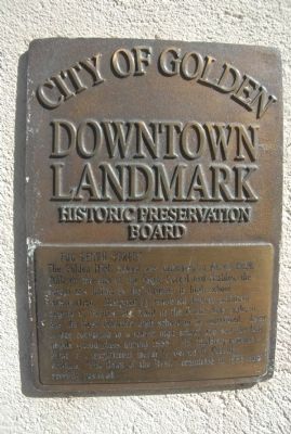
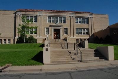
Golden High School
Downtown Landmark
Erected by City of Golden Downtown Landmark Historic Preservation Board.
Topics. This historical marker is listed in these topic lists: Education • Notable Buildings. A significant historical month for this entry is March 1924.
Location. 39° 45.481′ N, 105° 13.371′ W. Marker is in Golden, Colorado, in Jefferson County. Marker can be reached from Tenth Street east of Washington Avenue, on the right when traveling west. Touch for map. Marker is at or near this postal address: 700 Tenth Street, Golden CO 80401, United States of America. Touch for directions.
Other nearby markers. At least 8 other markers are within walking distance of this marker. First Building Site (about 300 feet away, measured in a direct line); Golden Alarm Bell (about 400 feet away); The Boston Company (about 400 feet away); Early History of Clear Creek (about 400 feet away); Settlement of Clear Creek Valley (about 400 feet away); Gold in Clear Creek (about 400 feet away); Farming (about 400 feet away); Tourism (about 400 feet away). Touch for a list and map of all markers in Golden.
Credits. This page was last revised on June 16, 2016. It was originally submitted on December 17, 2011, by Charles T. Harrell of Woodford, Virginia. This page has been viewed 610 times since then and 14 times this year. Photos: 1, 2. submitted on December 17, 2011, by Charles T. Harrell of Woodford, Virginia. • Syd Whittle was the editor who published this page.
Editor’s want-list for this marker. Photos of the two plaques seen on either side of the entrance. • Photo of the mural. • Can you help?

