Wrightsville in York County, Pennsylvania — The American Northeast (Mid-Atlantic)
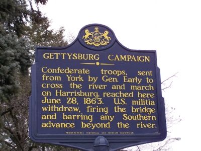
Gettysburg Campaign
Confederate troops, sent from York by Gen. Early to cross the river and march on Harrisburg, reached here June 28, 1863. U.S. militia withdrew, firing the bridge and barring any Southern advance beyond the river.
Erected by Pennsylvania Historical and Museum Commission.
Topics and series. This historical marker is listed in these topic lists: Bridges & Viaducts • War, US Civil • Waterways & Vessels. In addition, it is included in the Gettysburg Campaign, and the Pennsylvania Historical and Museum Commission series lists. A significant historical month for this entry is June 1854.
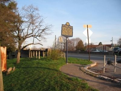
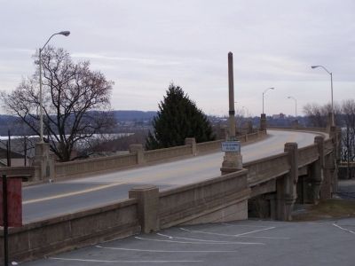
Location. 40° 1.547′ N, 76° 31.751′ W. Marker is in Wrightsville, Pennsylvania, in York County. Marker is at the intersection of Lincoln Highway (Pennsylvania Route 462) and Hellam Street, on the left when traveling east on Lincoln Highway. Marker is on the western end of the bridge over the Susquehanna River. Touch for map. Marker is in this post office area: Wrightsville PA 17368, United States of America. Touch for directions.
Other nearby markers. At least 8 other markers are within walking distance of this marker. Wrightsville (a few steps from this marker); The Old Post Office Building (within shouting distance of this marker); American Legion Monument (within shouting distance of this marker); The Union Cemetery (about 400 feet away, measured in a direct line); Veterans Memorial Bridge (about 500 feet away); Susquehanna Canal (about 800 feet away); Ham, Eggs, and Confederates (approx. 0.2 miles away); Susquehanna and Tidewater Canal (approx. 0.2 miles away). Touch for a list and map of all markers in Wrightsville.
Also see . . .
1. A Tour of Wrightsville. Civil War historian Scott Mingus hosts a tour of the Wrightsville Civil War sites. First of a seven part series. (Submitted on June 12, 2010, by Craig Swain of Leesburg, Virginia.)
2. Jubal Early. National Park Service website entry (Submitted on March 25, 2022, by Larry Gertner of New York, New York.)

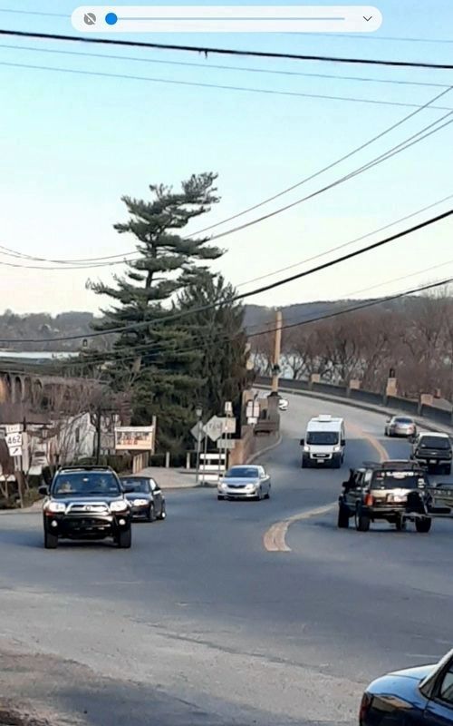
Photographed By Carl Gordon Moore Jr., March 13, 2021
4. Gettysburg Campaign Marker
This is actually a zoom-in done 2 days later, on March 15. At far left is a PA 462 route sign (for those not familiar with Pennsylvania, the sign is a keystone shape used for state routes). Going 1/4 of the way across from there horizontally toward the photo's right edge, we can see the marker. Eastbound PA 462 comes from lower right and takes a dogleg right to reach the bridge; looking straight ahead there leads down a hill toward a T intersection with a road which has north end of PA 624. That dogleg suggests a replacement bridge.
Credits. This page was last revised on March 25, 2022. It was originally submitted on January 29, 2008, by Bill Pfingsten of Bel Air, Maryland. This page has been viewed 1,942 times since then and 9 times this year. Last updated on March 15, 2021, by Carl Gordon Moore Jr. of North East, Maryland. Photos: 1. submitted on January 29, 2008, by Bill Pfingsten of Bel Air, Maryland. 2. submitted on June 12, 2010, by Craig Swain of Leesburg, Virginia. 3. submitted on January 29, 2008, by Bill Pfingsten of Bel Air, Maryland. 4. submitted on March 15, 2021, by Carl Gordon Moore Jr. of North East, Maryland.


