Near Elkhorn City in Pike County, Kentucky — The American South (East South Central)
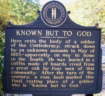
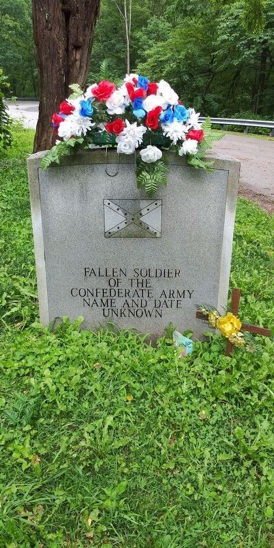
Known But to God
Erected 1987 by Kentucky Historical Society and Kentucky Department of Highways. (Marker Number 727.)
Topics and series. This historical marker is listed in these topic lists: Cemeteries & Burial Sites • War, US Civil. In addition, it is included in the Kentucky Historical Society series list. A significant historical month for this entry is May 1865.
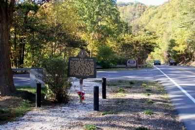
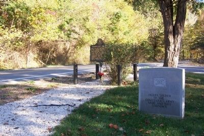
Location. 37° 17.866′ N, 82° 18.835′ W. Marker is near Elkhorn City, Kentucky, in Pike County. Marker is on Patty Loveless Drive (Kentucky Route 80), on the right when traveling east. In Breaks Interstate Park, about 300 feet northwest of the Virginia/Kentucky state line. Touch for map. Marker is in this post office area: Elkhorn City KY 41522, United States of America. Touch for directions.
Other nearby markers. At least 8 other markers are within 2 miles of this marker, measured as the crow flies. Russell Fork Overlook (approx. half a mile away); Clinchfield Overlook (approx. 0.9 miles away in Virginia); The Name Breaks (approx. one mile away in Virginia); Early Settlement (approx. 1.2 miles away in Virginia); Salt Kettle (approx. 1.3 miles away in Virginia); Formation Of The Breaks (approx. 1.4 miles away in Virginia); Mill Rock Point (approx. 1.7 miles away in Virginia); Mill Rock Point Overlook (approx. 1.7 miles away in Virginia).
Also see . . . Video overview of the site. (Submitted on November 6, 2021, by Robert Heyward of Prattville, Alabama.)
Credits. This page was last revised on November 6, 2021. It was originally submitted on December 18, 2011, by Forest McDermott of Masontown, Pennsylvania. This page has been viewed 1,591 times since then and 53 times this year. Photos: 1, 2, 3. submitted on December 18, 2011, by Forest McDermott of Masontown, Pennsylvania. 4. submitted on November 18, 2020, by Craig Doda of Napoleon, Ohio. • Craig Swain was the editor who published this page.


