Near Winterhaven in Imperial County, California — The American West (Pacific Coastal)
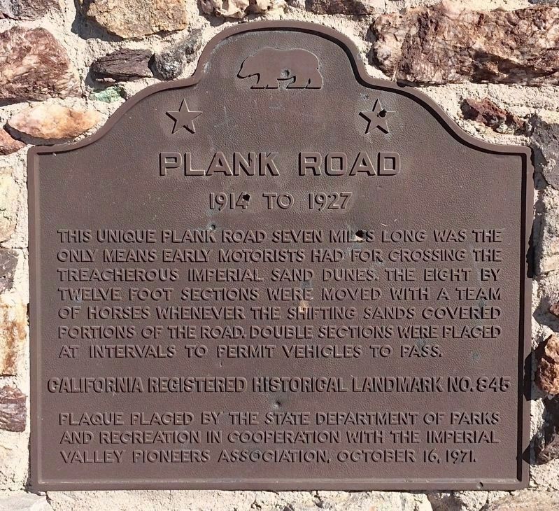
Plank Road
1914 - 1927
Erected 1971 by State Department of Parks and Recreation in cooperation with the Imperial Valley Pioneer Association. (Marker Number 845.)
Topics and series. This historical marker is listed in this topic list: Roads & Vehicles. In addition, it is included in the California Historical Landmarks, and the E Clampus Vitus series lists.
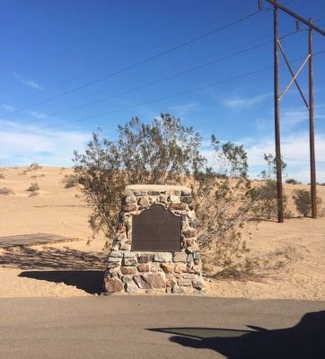
Location. 32° 42.618′ N, 114° 55.388′ W. Marker is near Winterhaven, California, in Imperial County. Marker is on Grays Well Road, on the right when traveling east. Access Grays Well Road from Interstate 8 using Exit 158. Touch for map. Marker is in this post office area: Winterhaven CA 92283, United States of America. Touch for directions.
Other nearby markers. At least 7 other markers are within 13 miles of this marker, measured as the crow flies. A different marker also named Plank Road (a few steps from this marker); a different marker also named The Plank Road (within shouting distance of this marker); Obregon (approx. 9 miles away); The Island of California (approx. 9.6 miles away); Site of Camp Pilot Knob (approx. 10.2 miles away); Mormon Battalion Crossing / Colorado River Crossing (approx. 11.7 miles away in Arizona); Tumco (approx. 12.4 miles away).
Photographed By Chris Bell, March 22, 2008
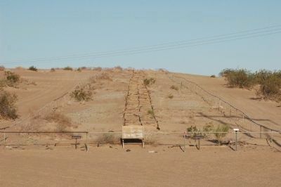
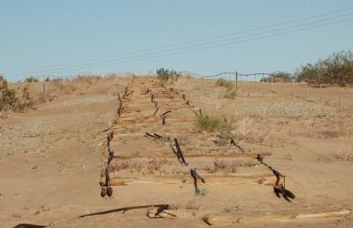
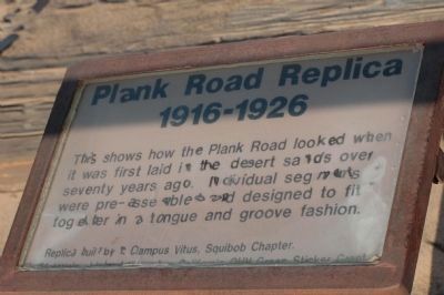
4. Plank Road Replica (1916-1926)
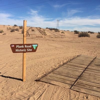
This shows how the Plank Road looked when it was first laid in the desert sands over seventy years ago. Individual segments were pre-assembled and designed to fit together in a tongue and groove fashion.
Replica built by E Clampus Vitus, Squibob Chapter.
Materials provided ... California OHV Green Sticker Grant.
Replica built by E Clampus Vitus, Squibob Chapter.
Materials provided ... California OHV Green Sticker Grant.
Photographed By Chris Bell, March 22, 2008
5. Plank Road
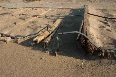
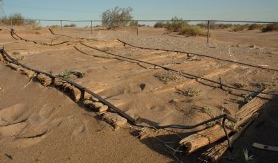
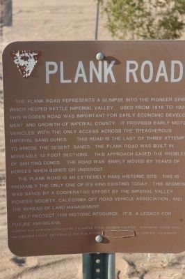
The Plank Road represents a glimpse into the pioneer spirit which helped settle Imperial Valley. Used from 1916 to 1926, this wooden road was important for early economic development and growth of Imperial County. It provided early motor vehicles with the only access across the treacherous Imperial Sand Dunes. This road is the last of three attempts to bridge the desert sands. The Plank Road was built in moveable 12 foot sections. This approach eased the problems of shifting dunes. The road was simply moved by teams of horses when buried or undercut.
The Plank Road is an extremely rare historic site. This is probably the only one of its kind existing today. This segment was saved by a cooperative effort by the Imperial Valley Pioneer Society, California Off Raod Vehicle Association, and The Bureau of Land Management.
Help protect this historic resource. it's a legacy for future Americans.
Funding for this sign donated by E Clampus Vitus, Squibob Chapter. Additional Plank Road information can be obtained at the BLM Office, El Centro, California.
Photographed By Merle Porter - Royal Pictures. Colton, California, circa 1950's
10. Plank Road
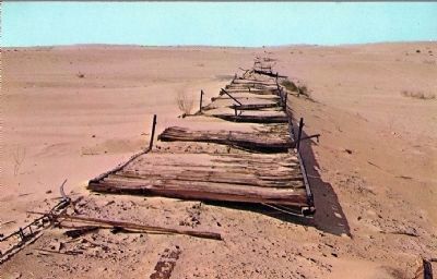
[This postcard image shows how the road appeared in the 1950's. Description on postcard reads:]
Plank Road
This road was built in 1914 and followed the contours of the shifting sand hills. It was over these hills that De Anza - the first white man to have crossed the Colorado Desert - made his way in 1774. This was the trail that the Butterfield Stage used along with explorers, trappers, traders, and others going to California. Because of the hostility of Yuma Indians, some of the travelers bypassed Yuma. Today a modern highway crosses the desert...M.P.
Credits. This page was last revised on December 18, 2023. It was originally submitted on December 17, 2011, by Michael Kindig of Elk Grove, California. This page has been viewed 1,027 times since then and 33 times this year. Last updated on December 18, 2011, by Michael Kindig of Elk Grove, California. Photos: 1, 2. submitted on February 16, 2022, by Adam Margolis of Mission Viejo, California. 3, 4, 5, 6, 7, 8. submitted on December 17, 2011, by Michael Kindig of Elk Grove, California. 9. submitted on February 16, 2022, by Adam Margolis of Mission Viejo, California. 10. submitted on December 17, 2011. • Syd Whittle was the editor who published this page.
