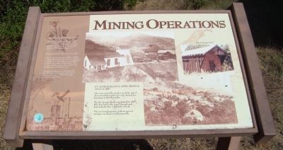
Mining Operations
Click for more information.
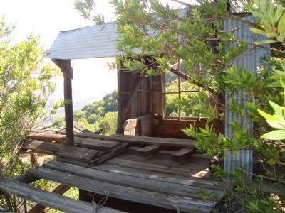
Victoria Shaft (photo right)
Named after Queen Victoria, the Victoria Shaft was sunk near the powderhouse in 1890 to prospect the existing Randol workings of the New Almaden Mine.
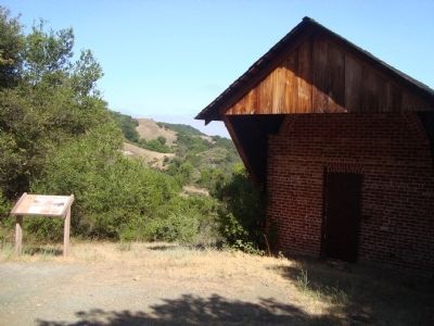
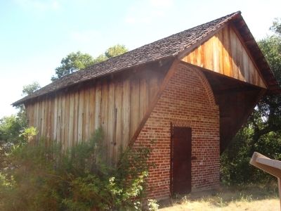
Powderhouse (photo far right)
The powderhouse was built in 1866 to house black powder used in blasting tunnels. In 1875 alone, over 68,000 pounds of powder were used in the mines. In later years, the small brick building housed dynamite.
The powderhouse was damaged by the 1989 Loma Prieta earthquake. It was restored in 1993 through an historic grant.
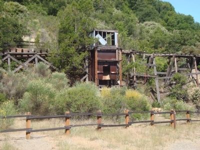
St. George Shaft & April Trestle (photo at right)
Ore was carried by trestle out of the April Tunnel and dumped into carts bound for furnaces at Hacienda.
The St. George Shaft was started in 1887, fifty feet below April Tunnel and descended to the 1,2000 [sic] –foot level.
The surrounding area, with its miners’ cottages, was known as Kempville.
[Photo caption, upper right] Powderhouse, 1977
Topics. This historical marker is listed in this topic list: Industry & Commerce. A significant historical year for this entry is 1890.
Location. 37° 10.889′ N, 121° 50.682′ W. Marker is in San Jose, California, in Santa Clara County. It is in Almaden. Marker can be reached from Hicks Road. This marker is located in Almaden Quicksilver County Park on
Other nearby markers. At least 8 other markers are within walking distance of this marker. Santa Isabel Shaft (approx. ¼ mile away); English Camp School (approx. 0.3 miles away); Site of English Town (approx. 0.3 miles away); English Camp (approx. 0.3 miles away); Camp Mt. Madonna (approx. 0.3 miles away); The “Main Tunnel” (approx. 0.4 miles away); Day Tunnel (approx. 0.4 miles away); The Buena Vista (approx. 0.4 miles away). Touch for a list and map of all markers in San Jose.
Credits. This page was last revised on February 7, 2023. It was originally submitted on December 19, 2011, by Barry Swackhamer of Brentwood, California. This page has been viewed 555 times since then and 6 times this year. Photos: 1, 2, 3, 4, 5. submitted on December 19, 2011, by Barry Swackhamer of Brentwood, California. • Bill Pfingsten was the editor who published this page.
