Near Kanwaka in Douglas County, Kansas — The American Midwest (Upper Plains)
Lecompton
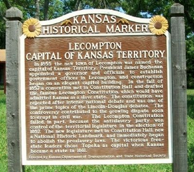
Capital of Kansas Territory
Inscription.
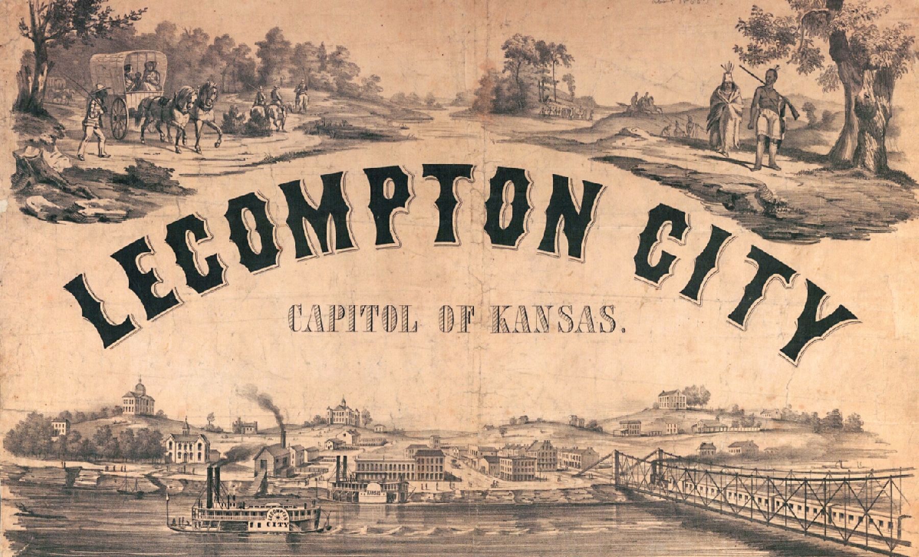
In 1855 the new town of Lecompton was named the capital of Kansas Territory. President James Buchanan appointed a governor and officials to establish government offices in Lecompton, and construction began on an elegant capitol building. In the fall of 1857 a convention met in Constitution Hall and drafted the famous Lecompton Constitution, which would have admitted Kansas as a slave state. The constitution was rejected after intense national debate and was one of the prime topics of the Lincoln-Douglas debates. The controversy contributed to the growing dispute soon to erupt in civil war. The Lecompton Constitution failed, in part, because the antislavery party won control of the territorial legislature in the election of 1857. The new legislature met in Constitution Hall, now a National Historic Landmark, and immediately began to abolish the proslavery laws. The victorious free-state leaders chose Topeka as capital when Kansas became a state in 1861.
Erected 1995 by Kansas Department of Transportation and State Historical Society. (Marker Number 40.)
Topics and series. This historical marker is listed in these topic lists: Government & Politics • Settlements & Settlers. In addition, it is included in the Former U.S. Presidents: #15 James Buchanan, and the Kansas Historical Society series lists. A significant historical year for this entry is 1855.
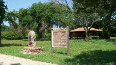
Location. 38° 59.606′ N, 95° 23.444′ W. Marker is near Kanwaka, Kansas, in Douglas County. Marker is at the intersection of U.S. 40 and E 600 Road (County Route 1029), on the right when traveling west on U.S. 40. Marker is at the roadside rest area. Touch for map. Marker is in this post office area: Lawrence KS 66049, United States of America. Touch for directions.
Other nearby markers. At least 8 other markers are within 7 miles of this marker, measured as the crow flies. Coon Point (here, next to this marker); Lane University (approx. 3˝ miles away); Lecompton Constitution Hall (approx. 3.6 miles away); Sheriff Samuel J. Jones (approx. 3.6 miles away); Democratic Headquarters (approx. 3.8 miles away); First United Brethren in Christ Church in Kansas (approx. 5.2 miles away); Kansa Indians (approx. 5.8 miles away); Purple Heart Trail in Kansas (approx. 6.7 miles away).
More about this marker. This is the third marker with this title at this location. The previous markers were subtitled “Slavery Capital” in place of this marker’s “Capital of Kansas Territory.”
From
1956 to 1995 the marker read as follows,
Three miles north is Lecompton, famous in the latter 1850’s as headquarters of the Proslavery party in Kansas. The “bogus” legislature of 1855 made it the territorial capital and Congress appropriated $50,000 for a capitol building that was never completed. Lecompton was served by stagecoach, steamboat and ferry. With a land office and other Federal agencies, it prospered until the downfall of the slave power in Kansas. Gov. Charles Robinson and many Free-State leaders were imprisoned there during 1856–1857. Still to be seen is the legislative hall in which the Lecompton Constitution was framed in 1857.An earlier official Kansas Historical Marker at this location had the following inscription. In bold is the text missing from the second marker quoted above.
“Fort Titus,” home of Pro-slavery leader Henry Titus, attacked and burned by Free-State men in 1856, was 2½ miles north of this marker.
Three miles north is Lecompton, famous in the latter 1850’s as headquarters of the proslavery party in Kansas. The “bogus” legislature of 1855 made it the territorial capital and congress appropriated $50,000 for a capitol building which was never completed. Lecompton was served by stagecoach, steamboat and ferry. With a land office and other federal agencies, it prospered until the downfall of the slave power in Kansas. Gov. Charles Robinson and many free-state leaders were imprisoned there during 1856-1857. Still to be seen are the legislative hall in which the Lecompton Constitution was framed in 1857, and the Rowena Hotel, lone survivor of the boom-day hostelries.
“Fort Titus,” home of proslavery leader Henry Titus, attacked and burned by free-state men in 1856, was 2½ miles north of this marker. Three miles northeast is the residence built by acting Gov. Frederick Stanton in 1857, now owned by former secretary of war Harry H. Woodring.
Related marker. Click here for another marker that is related to this marker.
Also see . . .
1. Historic Lecompton. City website (Submitted on December 19, 2011, by William Fischer, Jr. of Scranton, Pennsylvania.)
2. The Lecompton Constitution. City webpage (Submitted on December 19, 2011, by William Fischer, Jr. of Scranton, Pennsylvania.)
3. Popular Sovereignty and the Lecompton Constitution: A Middle School Lesson Plan. Kansas Historical Society entry (Submitted on December 19, 2011, by William Fischer, Jr. of Scranton, Pennsylvania.)
4. Photo of Previous Marker. This page on Kansas Historical Society’s Your Story - Our History website has a photo of the previous marker that stood on this site. On the back of the photograph a penciled note states that it was removed in April 1995. (Submitted on January 18, 2021, by J. J. Prats of Powell, Ohio.)
Credits. This page was last revised on May 13, 2022. It was originally submitted on December 19, 2011, by William Fischer, Jr. of Scranton, Pennsylvania. This page has been viewed 647 times since then and 17 times this year. Photos: 1, 2. submitted on December 19, 2011, by William Fischer, Jr. of Scranton, Pennsylvania. 3. submitted on January 4, 2021, by Larry Gertner of New York, New York.


